Drought potential still lurking in the Upper Midwest

Dryness persists for many areas of the Corn Belt

Drought Monitor for Minnesota
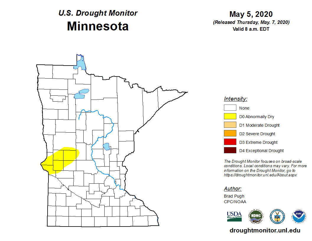
Latest Drought Monitor for Minnesota
USDA/UNL

There’s a dryness in the air over the Upper Midwest.

After a series of too wet springs, this year just smells different. Weather patterns continue to favor dryness. In the past 30 days, most of the Upper Midwest has recorded just 10 to 50 percent of average precipitation as we head into the growing season.

Precipitation departure from average over the past 30 days
Precipitation percent of average for the past 30 days
Midwest Regional Climate Center

Abnormally dry

This week’s update drought monitor for Minnesota continues to show abnormally dry conditions in western Minnesota.

Drought Monitor for Minnesota
Latest drought monitor for Minnesota
USDA/UNL

One way to think of the yellow area on the map above is “predrought.” If precipitation continues to run well below average, this is the first area that will be placed in drought classification.

Create a More Connected Minnesota

MPR News is your trusted resource for the news you need. With your support, MPR News brings accessible, courageous journalism and authentic conversation to everyone - free of paywalls and barriers. Your gift makes a difference.

Drier than average next 10 days?

Models vary in total precipitation for the next 10 days. The trend has been for dryness lately. This Canadian model run is one of the drier solutions.

Canadian model precipitation output for the next 10 days
Environment Canada via pivotal weather

If this type of pattern verifies, we could be seeing areas of drought pop up in this region in one to two weeks.

Evaporation increasing

One thing to keep in mind. The power of the May sun and dry winds can combine to leach moisture from soils rapidly. We can easily evaporate more than an inch of moisture from soils in four to five days under warm dry conditions this time of year. Topsoils still have significant fall moisture, but will continue to dry rapidly as temperatures warm if rainfall continues to be scant.

If the forecast of temperatures in the 70s and 80s to near 90 degrees verifies in two weeks, we’re going to need some significant rainfall to stop the trend of dryness across parts of the Midwest as we head into prime growing season. Northern Minnesota will also have to be watched for increasing fire danger.

NOAA GFS model temperature outlook for May 23
NOAA via pivotal weather

Stay tuned.