Storms leave thousands without power across Minnesota

Storm clouds over the Twin Cities
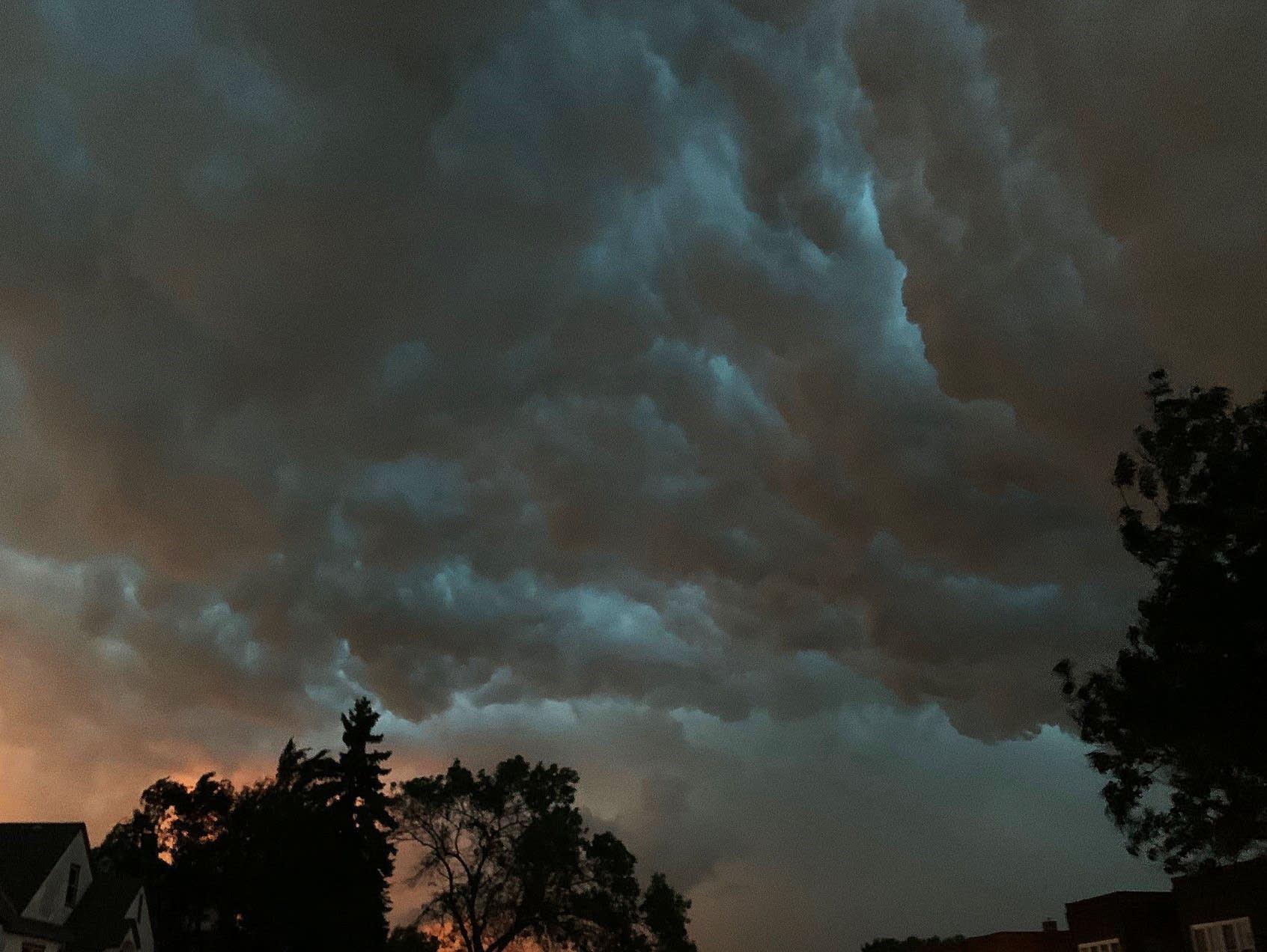
Storm clouds swirl above South St. Paul, Minn., on Friday, as severe storms move through the area.
Andrew Krueger | MPR News

Updated: Aug. 15, 1:55 p.m.

Severe storms spawned tornadoes and knocked out power to tens of thousands of homes and business across Minnesota on Friday.

Utility companies reported more than 25,000 customers were still without power across eastern Minnesota as of 6 a.m. Saturday. That number was down to about 15,000 by early afternoon.

At the peak of the outages on Friday night, Xcel Energy reported about 125,000 customers without power, mostly in the Twin Cities metro area, after the storms rolled through with damaging winds and torrential rain.

Minnesota Power, Lake Country Power, East Central Energy and other utilities reported several thousand more customers without power up the Interstate 35 corridor to Duluth, and from Mille Lacs Lake north to the Iron Range. The total number of outages statewide was more than 60,000 at one point Friday night.

Create a More Connected Minnesota

MPR News is your trusted resource for the news you need. With your support, MPR News brings accessible, courageous journalism and authentic conversation to everyone - free of paywalls and barriers. Your gift makes a difference.

Xcel said repair crews from several states were working Saturday morning to fix the remaining outages.

Earlier in the evening, weather spotters reported tornadoes as the storms moved across central Minnesota. There was possible tornado damage at Green Lake near Spicer; the West Central Tribune reported piers and boats were flipped, along with numerous trees down and some roof damage to buildings in the area.

“We lost a lot of trees, which is always sad, but better than homes and lives,” Kandiyohi County emergency management director Kim Lindahl told the West Central Tribune. “We were lucky.”

A tornado touchdown also was reported in parts of McLeod County near Glencoe and Brownton. There were no immediate reports of injuries.

The storms brought torrential rainfall, with reports of flash flooding and streets covered by water in downtown Grand Rapids and in the Nashwauk, Keewatin and Hibbing areas on the Iron Range. A weather spotter near Chisholm reported more than a half-foot of rain, and as of Saturday morning MnDOT reported high water was still affecting some highways near Backus.

And the storms produced numerous reports of trees down — in some cases blocking roads — around the metro area, and across central and eastern Minnesota. A weather spotter reported some railroad cars blown over at the Duluth port terminal.

The Minneapolis-St. Paul International Airport reported a wind gust of 64 mph as the storms moved through just after 8 p.m. A weather station near Little Falls recorded a wind gust of 72 mph earlier in the evening.