Going, going: Mild weather causing a snow disappearing act this week
Most of last week's snow has already melted
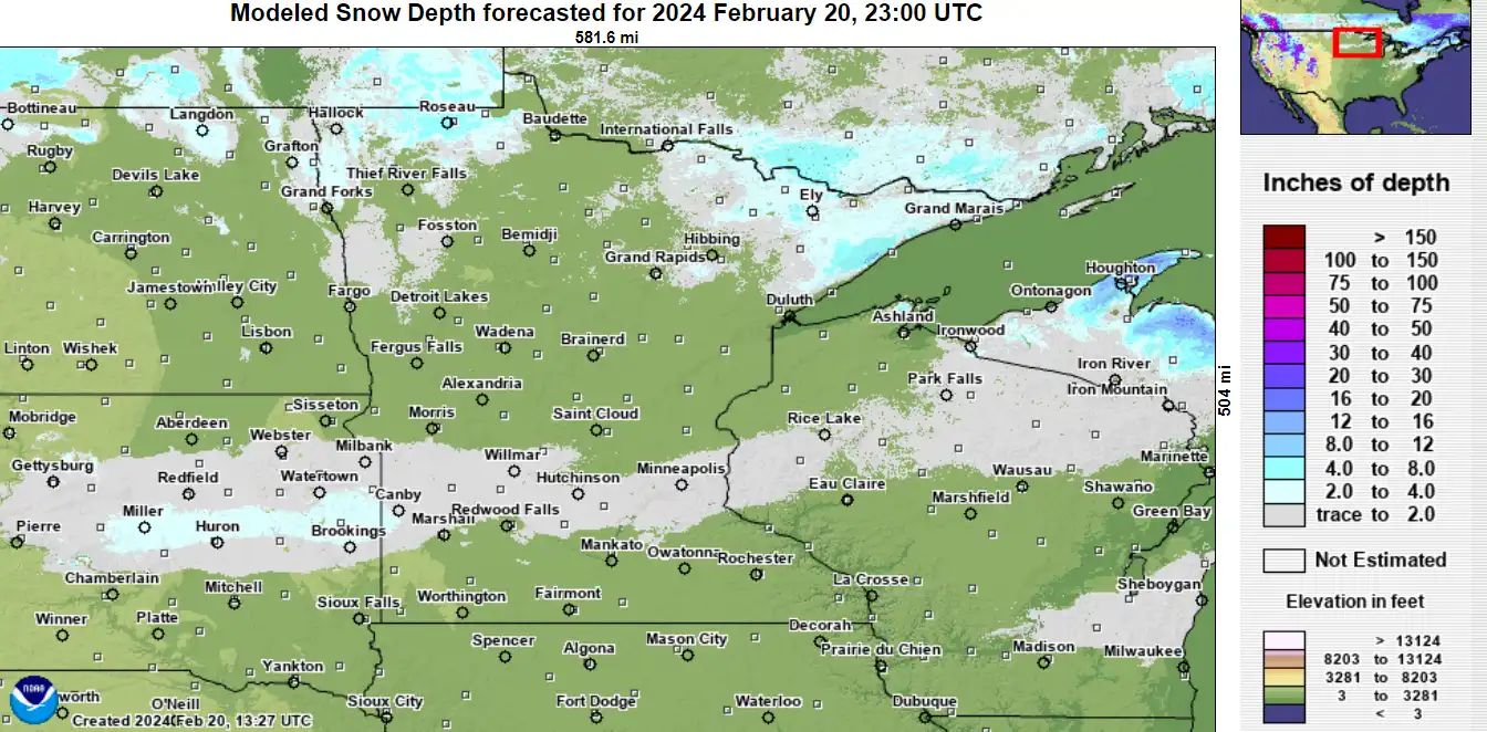
Go Deeper.
Create an account or log in to save stories.
Like this?
Thanks for liking this story! We have added it to a list of your favorite stories.
It was nice to see snow on the ground in February for a few days.
Last week’s decent snow dump is disappearing fast. Another wave of mild Pacific air and increasing solar intensity are doing a number on what snow is left. Here are the snow depth readings at Minneapolis-St. Paul International Airport over the past few days:
Friday, 7 inches
Monday, 3 inches
Tuesday, 2 inches
The deepest snow depth I can find today is 8 inches at Wolf Ridge Environmental Learning Center near Finland in the Arrowhead region That’s way below average for this time of year.
Last week’s snow analyses from the National Oceanic and Atmospheric Administration showed a significant stripe of 6 inches of snow across central Minnesota, including the greater Twin Cities area.
Turn Up Your Support
MPR News helps you turn down the noise and build shared understanding. Turn up your support for this public resource and keep trusted journalism accessible to all.

You can see on the map at the top of this image that most of that snow is long gone.
With highs in the 40s ahead on Wednesday, we’ll likely see many areas go snow-free once again by late afternoon.

Keep in mind we still average 8.2 inches of snow in March and 3.5 inches in April in the Twin Cities.
My hunch, and climatology, suggest we’ll get another snow system before true spring takes hold. But the window of time is closing rapidly.