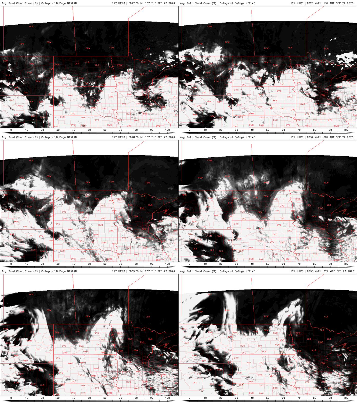
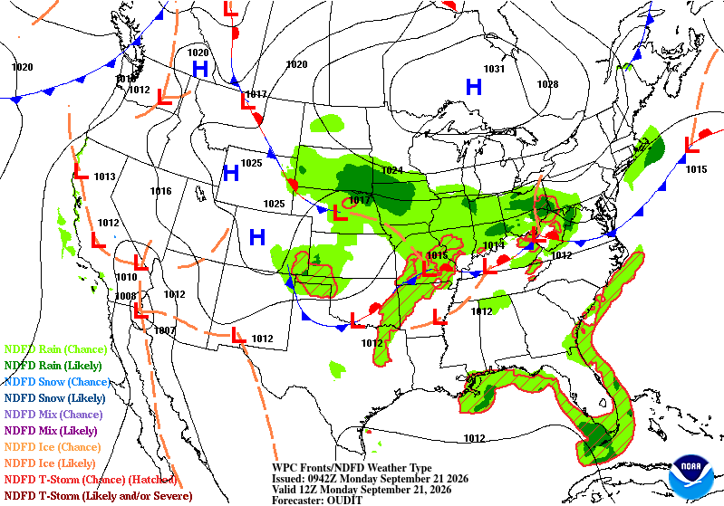
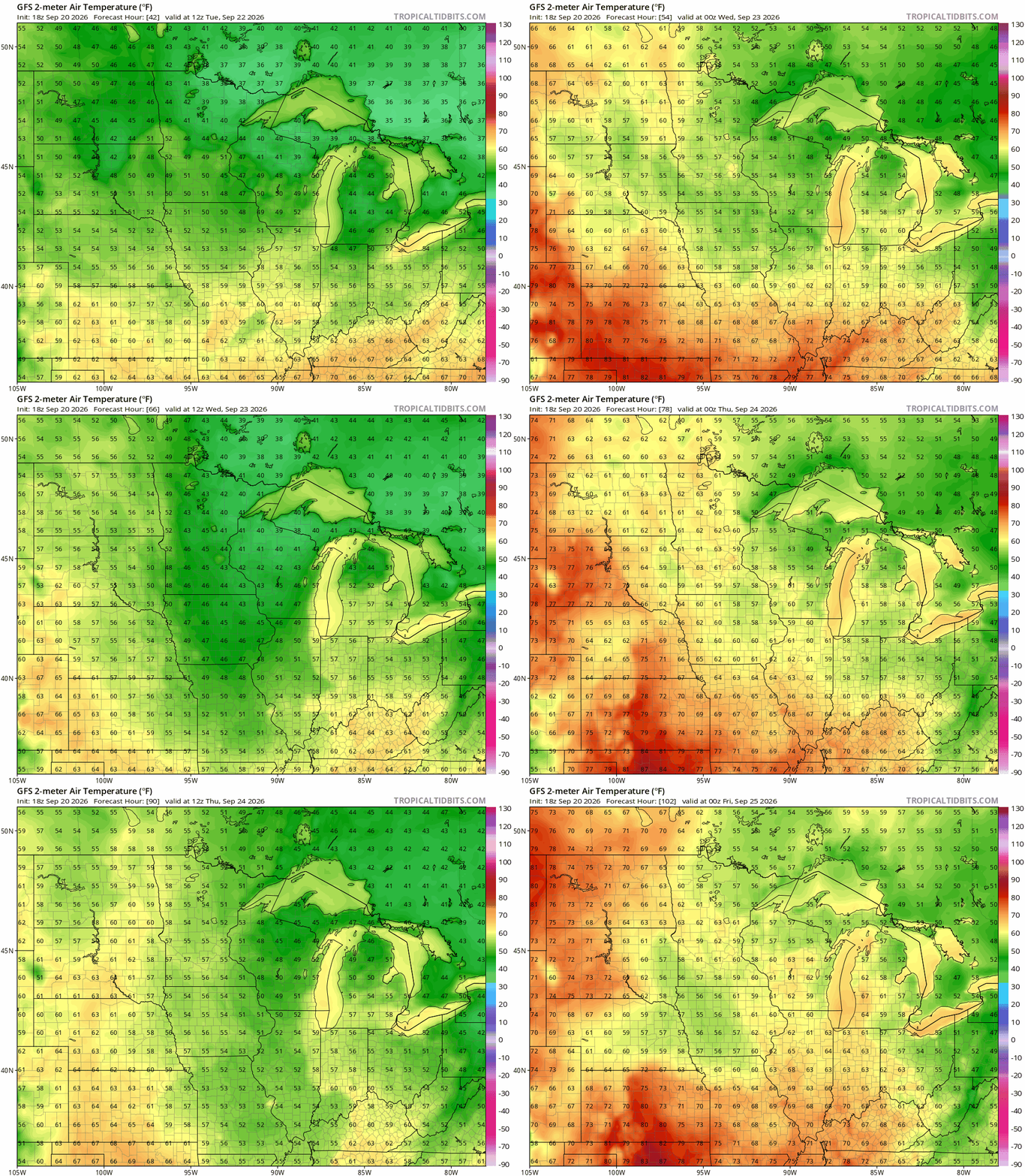
Minnesota remains locked into a somewhat active weather pattern, bringing periodic chances for showers and thunderstorms through the upcoming week. While there will be several opportunities for rain, there will also be plenty of dry hours mixed in. Temperatures are expected to stay close to seasonal averages through midweek before trending slightly cooler by next weekend.
Plenty of sunshine, low humidity, and temperatures in the lower 80s will make for a nearly perfect August day to spend outside. It’s the kind of forecast that reminds us summer still has plenty left to offer.
A weak cool front will touch off some spotty midday thunder Friday. Muggy air will move south and then march back north over the weekend. Monday may yield better rain chances.
There are only a few rain chances in the coming week for Minnesota, and most of those only affect a small part of the state at any one time. Will we see some tropical help from rains like we did in 1949, 1983, and 2020? A new NHC outlook is even lower.
The latest drought monitor shows some encouraging improvement across Minnesota following some recent rainfall. However, the areas experiencing the most significant drought saw little relief.
Thursday will still be a nice, mostly comfortable day. Dew points and temperatures will be increasing some the next couple days which will lead to at least isolated thunder.
A timely report was just released by Climate Central, which is a nonpartisan and nonprofit group that we’ve worked with for years. They looked at a bunch of America’s biggest cities, but we’ll only focus on Minnesota.
Cooler and drier air lingers along with lots of sunshine. Thursday will still be comfortable, but warmer. Dew points and temperatures increase along with chances of spotty thunder Friday.
When it comes to staying informed in Minnesota, our newsletters overdeliver. Sign-up now for headlines, breaking news, hometown stories, weather and much more. Delivered weekday mornings.