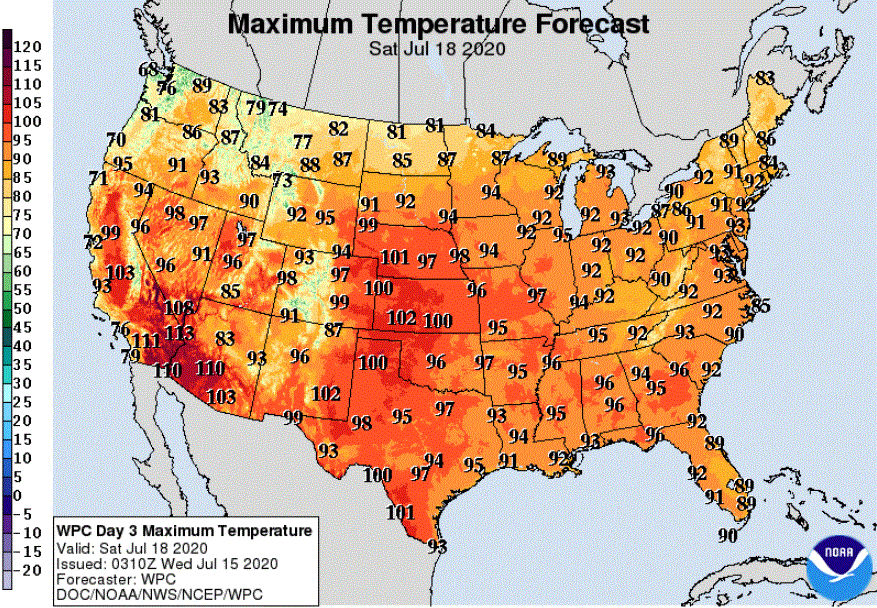
Behind a cold front, Thursday brings mostly dry, breezy, and slightly cooler weather. Temperatures drop even more by the weekend, before we see a big warmup next week.
Although much of Minnesota stays dry Thursday, two separate fronts are bringing areas of rain, especially in the morning. Although not as warm as Wednesday, temperatures stay above average again, before cooler air settles across the state Friday.
After areas of heavy rain Tuesday, the rest of the week brings drier skies and more sunshine back across the state. Temperatures will be cooler by the weekend.
Skies have finally dried across all but southeastern Minnesota, and most of the state will see plentiful sunshine Wednesday after widespread areas of morning fog lift.
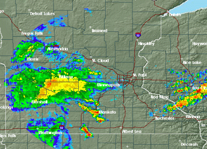
Thunderstorms could drop heavy rain in parts of eastern Minnesota and western Wisconsin Tuesday evening into the overnight hours of Tuesday night. Drier weather is on tap for Wednesday.
The National Weather Service Twin Cities has canceled a tornado warning for the east Twin Cities metro area. A flash flood watch remains in effect for southeastern Minnesota until early Wednesday morning.
When it comes to staying informed in Minnesota, our newsletters overdeliver. Sign-up now for headlines, breaking news, hometown stories, weather and much more. Delivered weekday mornings.