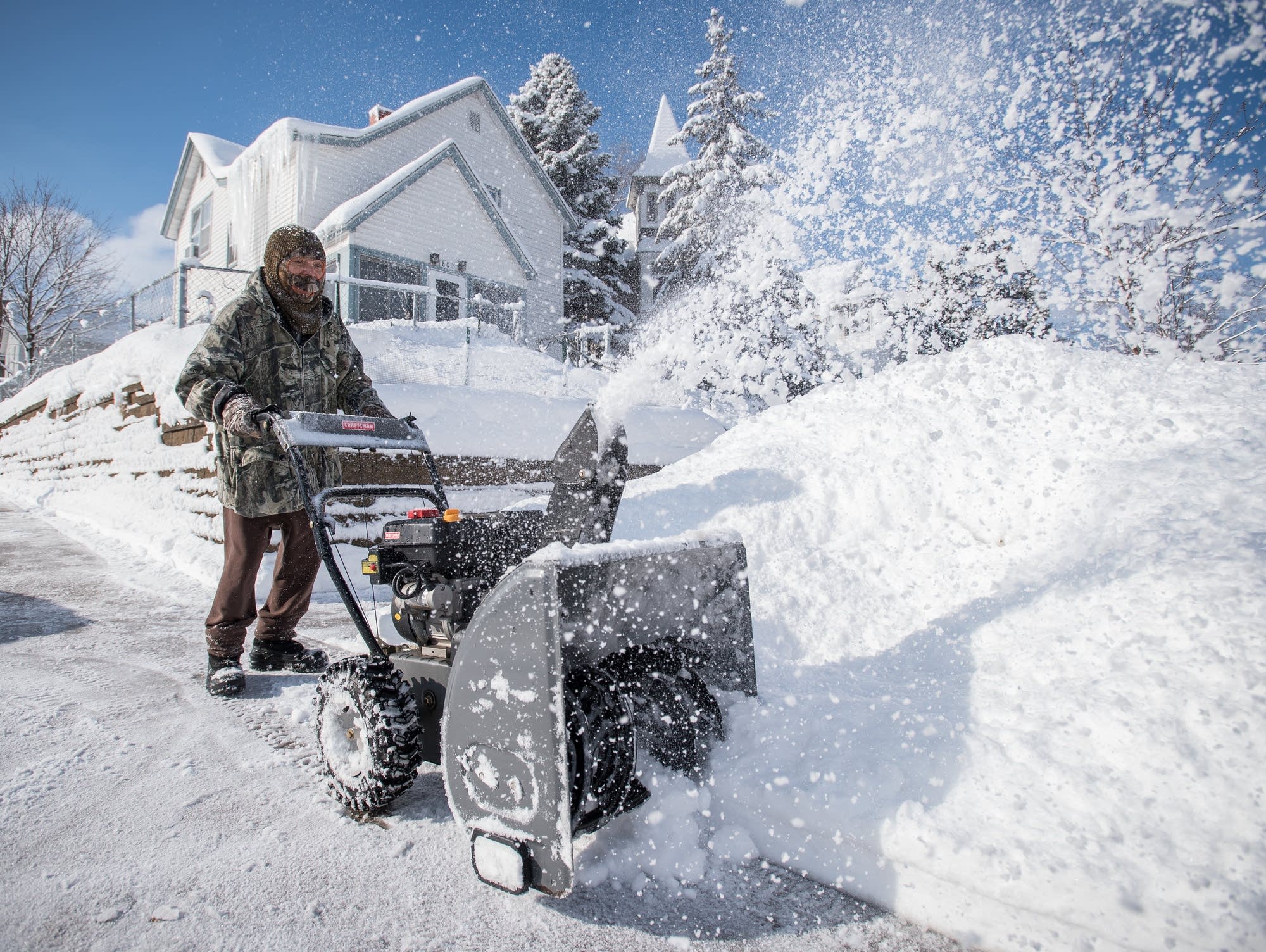
With December in the rearview mirror, MPR News host Cathy Wurzer wrapped up the month in weather – including a number of precipitation records – with retired University of Minnesota climatologist and meteorologist Mark Seeley.
After enduring the coldest first two weeks of November since 1991, temperatures over the past week have moderated from a few degrees higher than normal to several degrees higher than normal. MPR’s Cathy Wurzer spoke with climatologist Mark Seeley about this week in weather.
The first two weeks of November have been near historically cold levels for many states in the Midwest, as well as the eastern half of the country. Thousands of climate stations have reported setting new record cold maximum and minimum daily temperatures. In the Minnesota climate network approximately 150 daily cold daily maximum temperature records have been tied or broken, while 135 cold daily minimum temperature records have been tied or broken.
The trend for colder than normal temperatures in Minnesota that was so significant in the month of October has continued this month, with most areas averaging from 9 to 12 degrees lower than normal.
Very wet and cool is how most Minnesotans will remember October 2019, and rightfully so. This October ranked as the 21st coolest and the 6th wettest in state history. Retired University of Minnesota meteorologist Mark Seeley discusses the weather with Morning Edition host Cathy Wurzer.
When it comes to staying informed in Minnesota, our newsletters overdeliver. Sign-up now for headlines, breaking news, hometown stories, weather and much more. Delivered weekday mornings.