Despite calmer weather, top 5 Red River flood still in play

Red River of the North on April 8
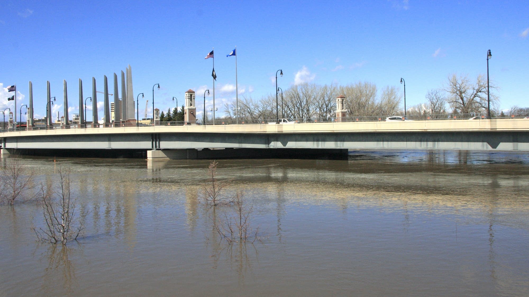
The Red River of the North, as seen in flood stage on April 8, 2019 in Moorhead, Minn.
Matt Mikus | MPR News 2019

A top five flood is still possible in the Red River Valley, even though there have been no storms since mid-January and the short-term forecast is favorable, National Weather Service officials said Thursday.

Precipitation has been below normal for the last four weeks but has done little to change the rankings for one of the wettest fall and winter seasons on record, the weather service said. Fargo's moisture totals since Sept. 1 fell from No. 2 to No. 3 all-time, but the Grand Forks area remains No. 1 historically for that period.

The uneventful weather is expected to continue for at least two weeks before the likely onset of colder and wetter conditions into spring, said Amanda Lee, weather service hydrologist.

“We are starting to run out of winter thankfully but we still have to worry about spring,” Lee said. “It's not completely off the table yet. This top five flood could still happen.”

The Red River Valley has seen several major floods in the last 25 years, including the 1997 flood and fire that devastated Grand Forks and East Grand Forks, Minnesota. The Fargo and Moorhead, Minnesota area survived record flooding in 2009.

The next flood outlook is due Feb. 27.

Create a More Connected Minnesota

MPR News is your trusted resource for the news you need. With your support, MPR News brings accessible, courageous journalism and authentic conversation to everyone - free of paywalls and barriers. Your gift makes a difference.