Crews working to assess damage from Greenwood Fire that moved like a ‘freight train’

the Greenwood Fire
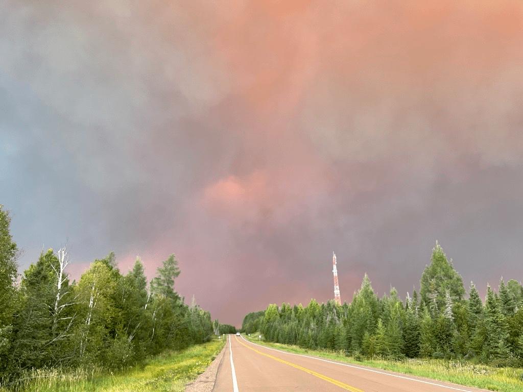
Northeastern Minnesota's Greenwood Fire has nearly doubled in size and continues to grow.
Superior National Forest

The Greenwood Fire burning in northeastern Minnesota has now scorched more than 30 square miles of forest, as strong winds Monday drove the blaze through an area dotted with dozens of homes and cabins

The latest update Tuesday morning shows the fire has now burned more than 19,000 acres. It’s nearly doubled in size in the last 24 hours. 

As the fire was pushed east Monday afternoon, incident commander Brian Pisarek likened it to a “freight train.”

Speaking at a fire information meeting Monday night at Wolf Ridge Environmental Learning Center in Finland, Minn., he explained, “Once it starts rolling, it starts to build up steam and feed off itself.” 

Create a More Connected Minnesota

MPR News is your trusted resource for the news you need. With your support, MPR News brings accessible, courageous journalism and authentic conversation to everyone - free of paywalls and barriers. Your gift makes a difference.

Strong winds gusting out of the west drove the fire straight at the McDougal chain of lakes, south of state Highway 1, where there are many seasonal cabins and permanent residences. 

Structure protection crews stationed in that area were forced to pull out as the fire advanced. There have been unofficial reports that some structures were damaged and destroyed, primarily on North McDougal Lake. 

Fire information officer Clark McCreedy said they have also heard those reports, but said, “We have not been able to completely get in there to confirm anything as of yet,” because burned and fallen trees are blocking access. 

“We have crews right now actually cutting their way into the sites so we can provide access to the fire crews, access for the Lake County Sheriff and Lake County Emergency Management folks,” McCreedy said. 

But he said it would be another day or two before officials have a “good, hard estimate” of the extent of the damage. 

The fire yesterday generated a smoke plume that could be seen for miles in all directions. Smoke and ash from the fire were reported as far away as Lutsen, Minn.

The energy generated from the fire pulls air into the central area of fire activity and funnels it up into the atmosphere, creating what’s known as a “pyrocumulus” cloud that creates its own weather. 

“We actually saw lightning coming out of that cloud,” said McCreedy. 

It also sent sparks a half-mile ahead of the fire, creating small spot fires. At least one fire started north of Highway 1, but firefighters were able to snuff it out. 

Crews also lit defensive back burns to consume fuel in front of the highway, in an effort to prevent the fire from jumping across it. So far those efforts have held, McCreedy said. 

defensive burn for the Greenwood Fire
Crews use defensive back burns in an attempt to control the Greenwood Fire.
Superior National Forest

Yesterday’s aggressive fire activity prompted 159 additional evacuations north of Highway 1 and east of the Slate Lake area. Lake County Sheriff Carey Johnson said 290 homes have now been evacuated, some for more than a week. 

“To take people out of their homes, it breaks my heart,” said Pisarek, who’s a fire chief in Aitkin, Minn., when he’s not fighting wildfires around the country.

Fire crews are being helped Tuesday by cooler weather and higher humidity. Reinforcements are also on the way. Pisarek said more aircraft and elite “hotshot” ground crews are coming from Montana. 

Smoky air from the fire has settled across most of northeastern Minnesota, prompting the Minnesota Pollution Control Agency to issue an air quality alert effective until 3 p.m. Wednesday for St. Louis, Carlton, Lake and Cook counties, including Duluth.

Fine particle levels are expected to reach the red AQI category across much of the alert area — a level that is considered unhealthy for everyone.

Officials estimate the Greenwood Fire could be contained by Sept. 1. 

Meanwhile, fires burning in the Boundary Waters Canoe Area also grew yesterday because of the critical fire conditions. The John Ek Fire nearly doubled in size to 1,500 acres, fanned by gusty, erratic winds. 

Fire officials planned a fire reconnaissance flight to develop a suppression plan for that fire, as well as the Whelp Fire, which has burned about 60 acres near Sawbill Lake in the BWCA. 

Those fires have prompted a pre-evacuation alert for homes located at the end of the Gunflint Trail. 

“This is no time to panic. It’s just time to be ready,” fire officials said in a Facebook video. 

The Superior National Forest has closed the entire BWCA because of the fires burning inside and around the wilderness, the ongoing drought and limited resources to respond to emergencies. 

“That’s not a decision that I make easily,'' said Forest Supervisor Connie Cummins, noting its impacts on businesses and visitors. 

“We are in drought conditions that we have not seen to date.”