Weather chats with Mark Seeley

Cooler summer is over as heat turns up for the rest of August
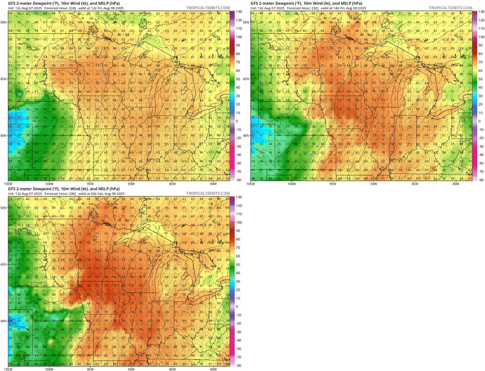
NOAA GFS dew point output
NOAA GFS dew point output through Friday evening.
NOAA via tropical tidbits

August started off cooler than normal but that’s not expected to last.

“Through at least the third week of the month, we’re going to be warm and humid,” Climatologist and meteorologist Mark Seeley said.

He added that it’s likely dew points will be consistently near 70 to 80 degrees Fahrenheit Friday as water vapor from storms over the week. But Seeley says frost in parts of the state is not unheard of going forward.

However, in Minnesota history it is unheard of for August 8.

“Our weather history in Minnesota shows that every date of the month of August, except today, we have had frost somewhere in northern Minnesota,” Seeley said.

Those records go back to the 1880s.

MPR News host Cathy Wurzer spoke with Seeley about the upcoming warm weather and historical anomaly in their weekly weather chat. Listen to the full conversation by clicking the player above.
