A strong low-pressure system in the northwestern Caribbean is forecasted to strengthen this week, potentially bringing heavy rainfall and flash flooding to Florida’s Gulf Coast.
Expect seasonal temperatures to start the work week, with highs warming to near 80 by mid-week. The forecast looks dry and quiet, with little to no chance of precipitation.
Normal temperatures are expected at the start of the work week, with highs warming back into the upper 70s by Wednesday. There’s little to no precipitation in the forecast due to high pressure overhead.
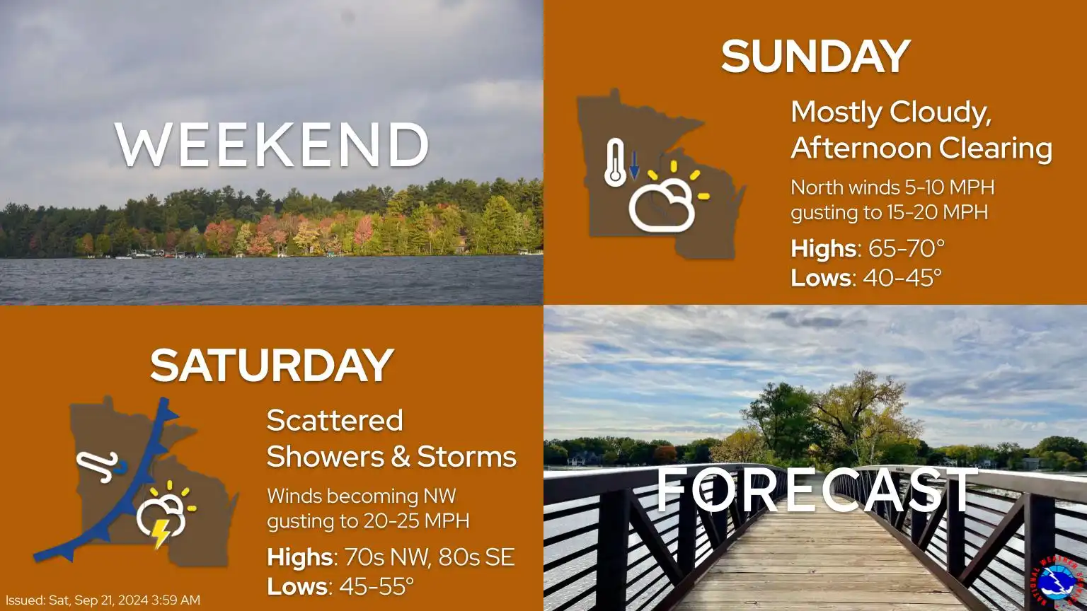
Spotty showers and thunderstorms are expected mainly in the metro area and southeastern Minnesota. Cooler temperatures are forecast for Sunday, with highs in the upper 60s. A dry spell is anticipated this week as high pressure moves in.
Saturday will begin with showers and thunderstorms, with redevelopment expected in the afternoon and evening. It will be one more warm day in the 80s before a cold front moves in, dropping temperatures into the 60s for Sunday.
Fall colors are starting to show for parts of Minnesota, thanks to the extended period of above-average temperatures. The weekend outlook indicates spotty shower chances, along with a significant temperature drop expected for Sunday.
When it comes to staying informed in Minnesota, our newsletters overdeliver. Sign-up now for headlines, breaking news, hometown stories, weather and much more. Delivered weekday mornings.