A few thunderstorms will move northeast through Tuesday evening. There’s just enough rotation in the lower atmosphere that a few cells could produce brief small funnel clouds, but most would be weak and brief and not touch down.
Showers will lift north Tuesday morning with some pop-up showers or thunderstorms possible Tuesday afternoon and evening in central Minnesota. Wednesday brings another chance for rain to southern Minnesota.
“You kids get inside. Your father called and there’s a tornado coming!” MPR News meteorologist Paul Huttner recalls his mom’s words before six tornadoes tore through the western Twin Cities 59 years ago.
It’ll be a warm one Monday with temperatures well into the 70s for the afternoon. Showers and a few thunderstorms are possible overnight. The week will be unsettled with more rain chances.
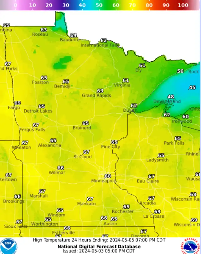
We continue our every-other-day pattern of rain and sun. Sunshine is back Friday with pleasant temperatures. More showers are possible Friday night into Saturday before things brighten back up Sunday.
Areas of moderate and severe drought shrank some in the last week, according to the latest U.S. Drought Monitor report. The drought continues to persist in north-central and northwestern Minnesota particularly.
When it comes to staying informed in Minnesota, our newsletters overdeliver. Sign-up now for headlines, breaking news, hometown stories, weather and much more. Delivered weekday mornings.