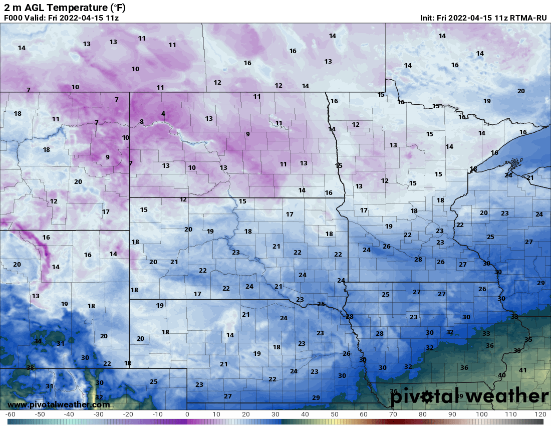
It’ll be more like mid-March than mid-April this weekend. Saturday will be our brightest weekend day, then we could see a bit of rain or snow at times on Sunday. Snow-lovers will be interested in the updated Minnesota snow depth map.
We should see increasing peeks of sunshine in central and southern Minnesota Friday while northeastern Minnesota continues to see some snow showers. Temperatures remain cold into early next week.
Our storm system finally starts to pull away Friday but it will still be very chilly and windy. Northeast Minnesota will see still see some lingering snow showers but the rest of us will be drier.
Cleanup continued Thursday in the southern Minnesota community of Taopi, after an EF2 tornado caused significant damage Tuesday. "The support from all the surrounding communities is unbelievable,” one resident said.
Thursday brings a return of more clouds and even higher winds. We’ll also see snow showers spread out across much of central and northern Minnesota with temperatures well below normal.
Thursday brings colder temperatures and higher winds. We’ll also have snow showers spread from northwest to southeast with additional accumulation across northern Minnesota.
When it comes to staying informed in Minnesota, our newsletters overdeliver. Sign-up now for headlines, breaking news, hometown stories, weather and much more. Delivered weekday mornings.