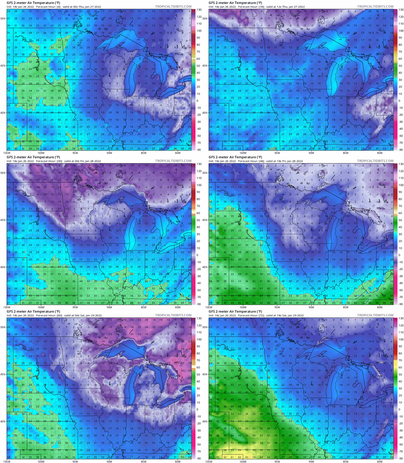
With forecast models cranking out 23 to 28 below zero for the Twin Cities in the next seven to 10 days, the odds of the Twin Cities area hitting at least negative 20 are growing.
Our average Twin Cities high temperature is 24 degrees on Jan. 29. Some spots in the metro area will reach 30 degrees Saturday afternoon. We have your weekend forecast details, including a chance of snow in far northern Minnesota.
After a cold start Friday, temperatures will head back up quickly over the next 24 hours. We’ll see highs in the lower teens, cooler than normal, but temperatures in the 20s and 30s return to Minnesota Saturday.
Temperatures statewide are below zero, but nowhere near as cold as Tuesday or Wednesday mornings. We’re mainly in the single digits below zero across the Twin Cities metro and even the coldest spots in the state are ‘only’ in the low to mid-teens below zero.
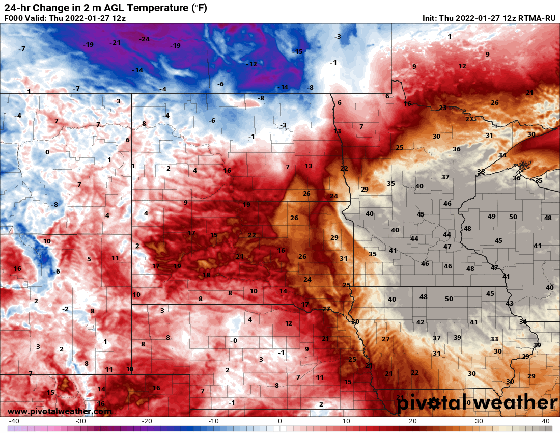
Another cold front is blowing through Minnesota, dropping Thursday’s temperatures into the teens by the afternoon and back below zero overnight into Friday. A rapid warmup is back for the weekend.
After touching 33 degrees in the Twin Cities early Thursday, temperatures fall as the day turns blustery. Winds will be from the northwest at 10 to 17 mph with gusts over 20. Expect to be back a few degrees below zero early Friday morning.
January is delivering a good old-fashioned winter. After a mild fall and slightly milder than average December, vigorous winter weather has kicked in across Minnesota this month.
When it comes to staying informed in Minnesota, our newsletters overdeliver. Sign-up now for headlines, breaking news, hometown stories, weather and much more. Delivered weekday mornings.