Weather and Climate News

Dangerous cold starts to move out; warmer by evening
Dangerously cold wind chills dominated much of the eastern half of Minnesota early Wednesday. We warm up quickly Wednesday. By early Thursday morning, temperatures will be well into the 20s, even near 30 in southern Minnesota ahead of another shot of colder air.
Frigid air departs after Wednesday morning
We’re seeing temperatures that rival our coldest readings yet across the Twin Cities. We were minus 17 on Jan. 7 and we’re at minus 16 so far early Wednesday. Wind chill values are in the minus 30s across the Twin Cities and for much of the state. That’s dangerously cold. Exposed skin can freeze in as little as 10 minutes.
Expect 15-20 below in Twin Cities, southern Minnesota Wednesday morning
The core of bitter arctic air mass slides across southern Minnesota overnight Tuesday into Wednesday. A milder air mass will quickly slide into Minnesota Wednesday afternoon.
Subzero temps grip Minnesota through Wednesday morning
The latest arctic blast isn’t done with us quite yet. Tuesday morning was very cold with lows ranging from the minus teens to minus 30. Tuesday night will be even colder for the eastern half of the state. Temps rise rapidly Wednesday afternoon.
Dangerously cold wind chills: Arctic blast persists through Wednesday morning
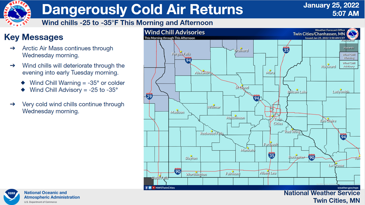
Wind chills are dangerously cold for many areas Tuesday morning. In the Twin Cities wind chills are generally around minus 25 but much of western and northern Minnesota are experiencing wind chill values of minus 30 to minus 45 in some cases. Temperatures will largely remain below zero statewide with even colder temps in eastern Minnesota Tuesday night.
Arctic again: Twin Cities could hit 17 below Wednesday morning
A brief but frigid arctic air mass moves in through Wednesday morning. Temperatures could challenge the coldest readings so far this winter in the Twin Cities.
Textbook La Niña winter unfolding in Minnesota
Overall, it appears this winter will most likely come in near or slightly colder than average across much of Minnesota, with near to above-average snowfall.
Subzero blast set to sweep Minnesota through Tuesday, then temps ease
Temperatures hold or fall through the day Monday. Expect single digits for the southern half of Minnesota and subzero readings in northern Minnesota. Subzero temperatures on Tuesday give way to high teens and 20s above zero by Wednesday.
After the snow, more bitter cold
After yet another fresh coating of snow, temperatures are set to drop once again. Expect temperatures to largely remain in the single digits Monday, perhaps popping briefly into the low teens this afternoon before falling this evening.