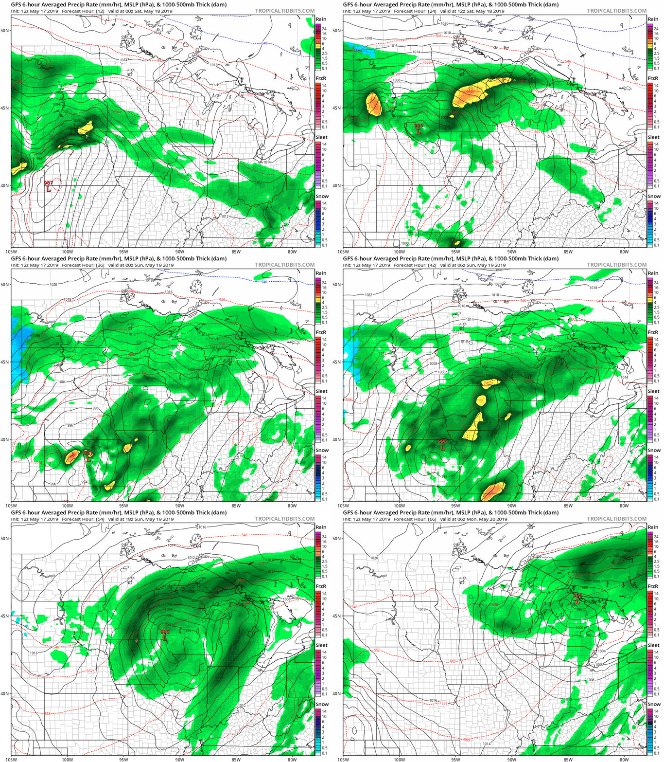
Many of us woke up to rumbles of thunder and flashes of lightning. There’ll be additional rounds of showers and thunderstorms today, tonight and Sunday. Showers and thunderstorms The National Oceanic and Atmospheric Administration’s North American Mesoscale forecast model shows the potential precipitation pattern from Saturday morning through Sunday evening: The color chart to the right…
According to the National Oceanic and Atmospheric Administration, the past 12 months (ending in April) have been the wettest in the U.S. since the agency began its tracking in 1895.
Scattered showers and thunderstorms are possible in the southern third of Minnesota late Thursday night and Friday. Periods of rain with embedded thunderstorms are expected across much of Minnesota and western Wisconsin Friday night through Saturday and Sunday.
The thunderstorms will linger over parts of southeastern Minnesota and southwestern Wisconsin early this Thursday morning. A batch of scattered thunderstorms are possible in the southern half of Minnesota late Thursday night and on Friday.
When it comes to staying informed in Minnesota, our newsletters overdeliver. Sign-up now for headlines, breaking news, hometown stories, weather and much more. Delivered weekday mornings.