Updraft® - Minnesota Weather News

Updraft® is your source for Minnesota forecasts and insights from our expert meteorologists Ben Cathey, Sven Sundgaard and Mandy Thalhuber.

MPR News brings you the latest weather outlook, across all of Minnesota, so you can be better prepared for your day.

Sign up for daily Minnesota weather forecasts from us below.
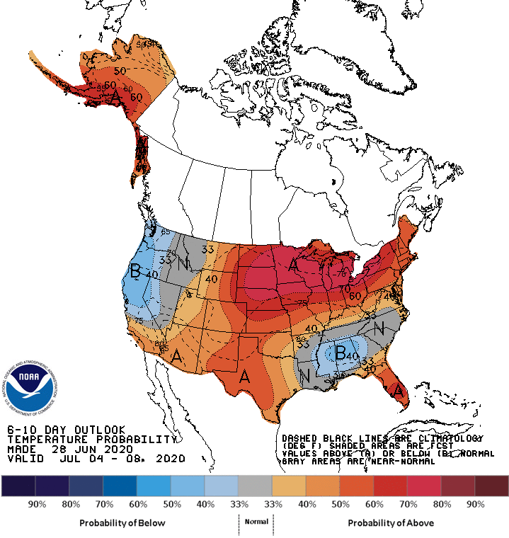
Another round of showers and storms is poised to move across Minnesota, but with less extreme rainfall totals than recent storms. Hot and humid weather carries us well into the start of July.
Occasional periods of showers and storms continue across Minnesota, with more widespread rain Wednesday.  Then an extend period of heat and humidity begins.
Other than a couple showers and storms that will impact mostly northeastern Minnesota, Tuesday will be much quieter across the state. Along with more sunshine comes the return of the heat.
Minnesota remains active the next few days with occasional showers and storms.  Meanwhile, temperatures are on the rise, and most of the state will see 90s by the weekend.
Heavy rain is causing flooding Monday morning, then the afternoon brings dangerous heat. Active weather stays through midweek, but the heat lingers even longer.
Portions of Minnesota are seeing storms with very heavy rain Monday morning. By afternoon, heat and humidity will be the concern, with a heat index near 100 in southern Minnesota.
Steamy Monday; warm weather will linger through the weekend
Get ready for some steamy weather! There aren’t any Canadian cold fronts on the forecast maps this week. We have your warm forecast details.
The NWS Storm Prediction Center has issued a tornado watch valid until 10 p.m. this Sunday evening for the southern portion of the Twin Cities metro area and south-central and southeastern Minnesota.
The humidity ramps up this afternoon and it’ll be breezy. Some areas could see some afternoon and evening thunderstorms. We have your Sunday forecast details.
