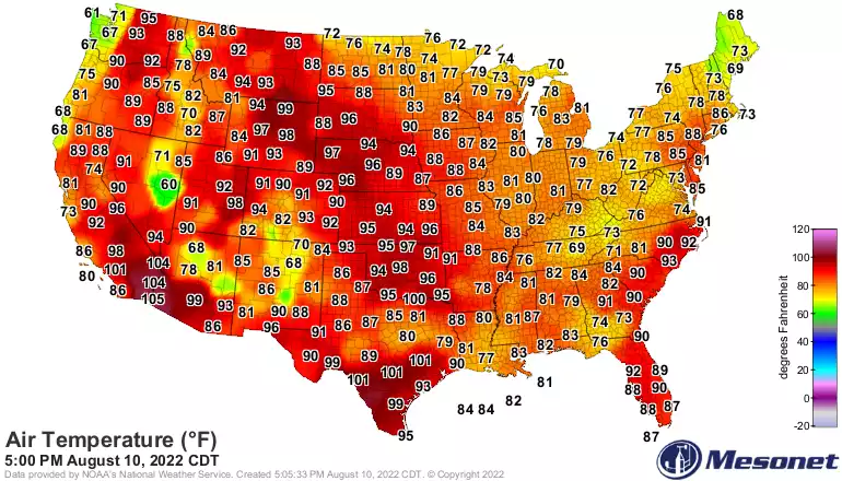
It will be a much more comfortable overnight across Minnesota as drier air allows temperatures to fall into the 60s and 50s. Wednesday will be pleasant before the heat builds back in Thursday. A few thunderstorms become possible Friday and Saturday.
While it will still be very warm Tuesday, the dew points will drop as a west breeze brings in much more comfortable air. Wednesday will be cooler before it’s hotter again Thursday.
Tuesday will yield another hot day but with dropping dew points making it feel much more comfortable than the last two days. Wednesday will be cooler before it heats up again.
It’ll remain hot overnight Monday night with scattered storms in northern, central, and western Minnesota.. Severe thunderstorm watches are posted for portions of Minnesota Monday night.
A hot blast of sultry weather statewide Monday. Strong thunderstorms beginning in west central and northwestern Minnesota in the afternoon will build across northern Minnesota by evening and central Minnesota overnight. Some storms are likely to become severe.
Dangerously hot and very humid statewide Monday. Thunderstorms for the west central and northwest could become severe by evening as they track northeast.
The heat continues into Monday with highs well into the 90s for much of Minnesota and dew points in the 60s and even 70s creating heat indices of 100+. Storms are possible late in the day west and north also.
When it comes to staying informed in Minnesota, our newsletters overdeliver. Sign-up now for headlines, breaking news, hometown stories, weather and much more. Delivered weekday mornings.