A wintry mix of rain, freezing rain, sleet and snow will create slick roads in many areas Saturday evening and overnight. We could also see and hear a few thunderstorms. We have the weekend forecast update plus a look at the week ahead.
Another wave of moisture will spread across Minnesota and western Wisconsin Saturday afternoon and evening. We have the details on who will see rain or a wintry mix and snow.
Leaders and advocates are working to improve the condition of Duluth sidewalks, but many residents still struggle with uncleared snow, packed snow piles blocking pedestrian paths, and diminished access during the winter months.
Our long-advertised weekend slop storm is still on track to impact Minnesota this weekend. The first wave of action starts overnight into Saturday morning.
A mild Friday leads to a messy Saturday of freezing rain and rain with snowfall Saturday night. The heaviest snow is expected to fall in a narrow band from west-central Minnesota northeast to Lake Superior; 1 or 2 inches or less is likely in the Twin Cities region.
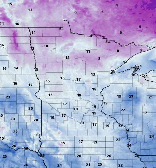
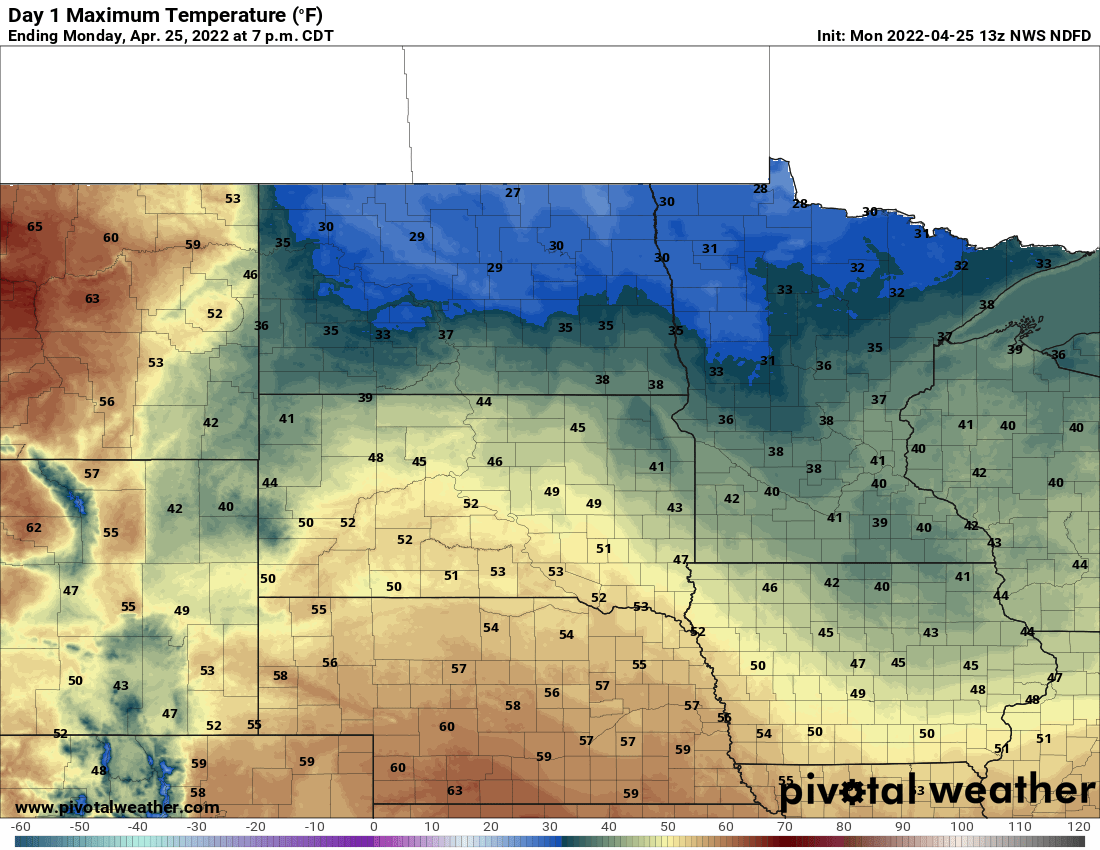
Temperatures early Friday are generally warmer across southern Minnesota, mainly in the 20s. Northeastern Minnesota is frigid yet again with teens below zero. We’ll see a milder day Friday with highs back in the 30s to near 40 in the south and 20s north. Clouds will increase through the day with a wintry mix of sleet, freezing rain, and snow moving into Minnesota late Friday evening.
Stay updated on forecasts this weekend, since a wintry mix of freezing drizzle, sleet, freezing rain and snow may slick up some roads in Minnesota and western Wisconsin.
When it comes to staying informed in Minnesota, our newsletters overdeliver. Sign-up now for headlines, breaking news, hometown stories, weather and much more. Delivered weekday mornings.