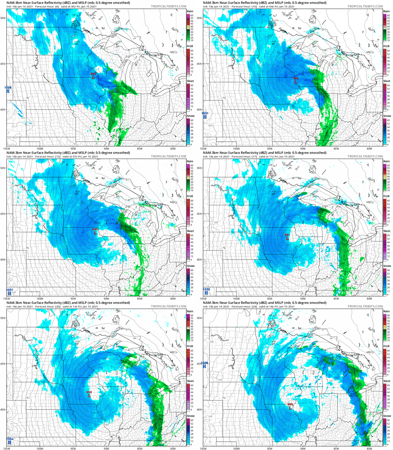
Minnesota is getting a wintry mix of rain, snow and freezing rain through the day, which will make some roads slick, particularly in the morning hours.
November is running 5 degrees warmer than average in the Twin Cities. Medium-range forecast products continue to skew milder than average into December.
Travel turns tricky by Tuesday morning as a storm moves a mix of rain, snow and ice into Minnesota overnight. The remainder of the week stays much quieter.
It’ll be a nice late-November Monday. A wintry mix will move in Monday night and some areas will see accumulating snow late Monday night and Tuesday. We have the details on that, plus a look at the rest of the week.
The strongest tropical cyclone ever measured in the northern Indian Ocean has made landfall in eastern Africa, where it is poised to drop two years' worth of rain in the next two days.
We’re seeing appropriate weather for this time of year. Temps are near normal and there’s a bit of fresh snow on the ground. We have an update on the Monday night and Tuesday snow potential in Minnesota and western Wisconsin.
The overnight snow was a reminder that this is indeed November. Snow tapers of from west to east Sunday morning, but lingers in parts of northeastern Minnesota. We have the details.
A mix of rain and light snow is expected to spread across Minnesota and western Wisconsin as we go through Saturday evening/Saturday night. We have details on the possible snow amounts and who may also see some light snow Sunday morning. We also take a look at the week ahead.
When it comes to staying informed in Minnesota, our newsletters overdeliver. Sign-up now for headlines, breaking news, hometown stories, weather and much more. Delivered weekday mornings.