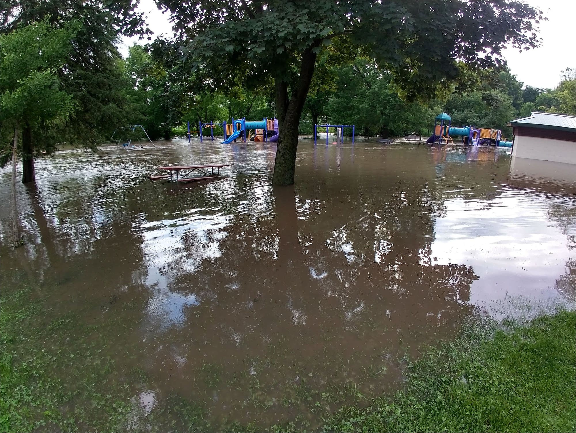
Rochester is Minnesota's epicenter when it comes to wet weather this year. Earlier this month, the city blew past its previous yearly precipitation record — and it's rained more since then and is expected to rain even more this week.
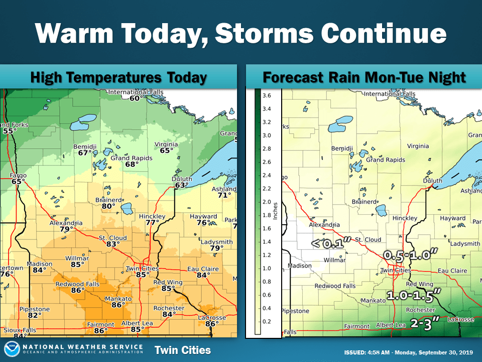
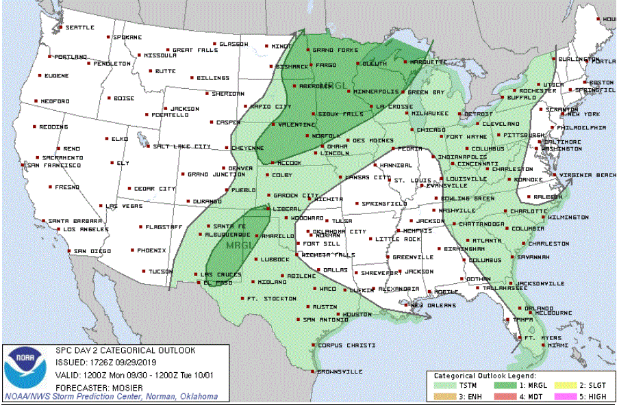
A gray Sunday with rain and drizzle will remain cloudy with a chance of thunderstorms overnight. Monday will bring rain and storms to northern Minnesota while central and southern sections steep in hot, very humid air. Strong or severe storms are possible by late afternoon or evening as a cold front barges in.
Parts of the northern Rocky Mountains looked more like mid-winter rather than early fall on Sunday as a snowstorm dumped record amounts of wind-driven snow that caused hazardous travel conditions and scattered power outages.
Overnight rain has been giving way to low clouds, drizzle and light rain. Some thunderstorms are possible later on Sunday. Monday will be steamy across about the southern half of Minnesota. Strong storms are possible late Monday as a cold front plows into the tropical air.
Shower and thunderstorms will spread across southern Minnesota toward the Twin Cities Saturday night. Unsettled weather will brings a scattering of showers and storms from Sunday through Monday and Monday night. Monday will be tropically hot and humid on Monday before a cooldown begins on Tuesday.
When it comes to staying informed in Minnesota, our newsletters overdeliver. Sign-up now for headlines, breaking news, hometown stories, weather and much more. Delivered weekday mornings.