A major heat wave is building into the Upper Midwest. A ridge of high pressure will amplify in the upper atmosphere across the central U.S. this week. Minnesota will ride the top of this heat dome.
Temperatures are forecast to climb into the 90s — possibly even exceeding 100 degrees — across parts of the state in the coming days, accompanied by increased humidity. Officials are urging people to take steps to keep themselves safe in the heat.
Extreme drought and sweltering heat are sowing trouble for Minnesota corn crops and backyard gardens alike. Nick Peterson, a member of the Minnesota Corn Growers Association Board of Directors and a farmer in Clear Lake, says it’s been a “trying summer” due to the complicated conditions.
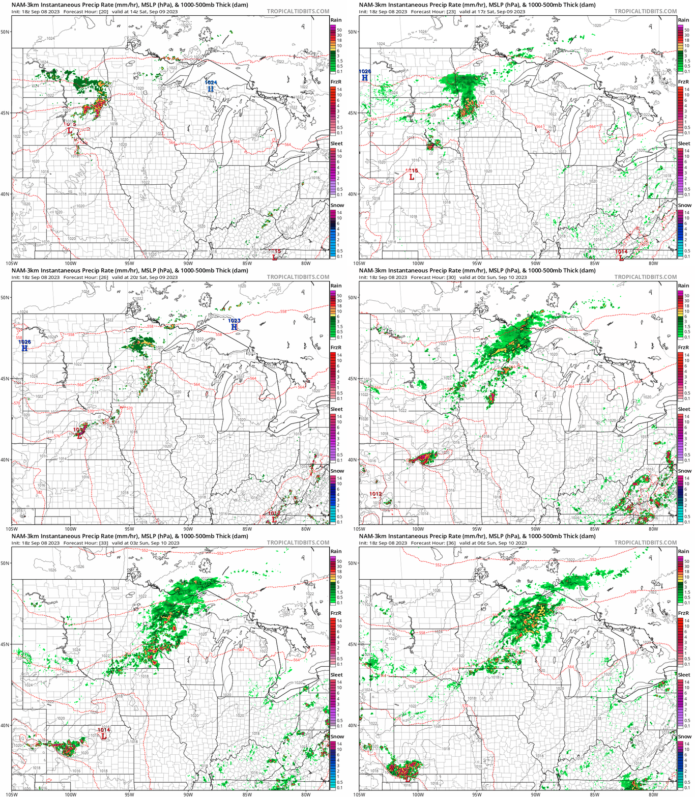
Southerly winds should improve air quality slowly through the day Monday. It’ll be hot with highs near 90 south and west. An isolated thunderstorm is possible later in the day.
We will have some isolated thunderstorms Monday as hot air moves into Minnesota. Highs will be in the 90s south and 80s north. Smoke is also creating air quality issues Monday.
Multiple organ failure, heart attack and kidney failure are the primary ways people die in extreme heat. Read on to find out how to stay safe in the heat wave.
An air quality alert covers the north metro until 6 a.m. Monday, and continues in central and northern Minnesota through Monday afternoon. Temps will really ramp up this week.
The Minnesota Polution Control Agency has added the northern half of the Twin Cities metro area to an air quality alert. We have the alert details for the north metro plus central and northern Minnesota.
When it comes to staying informed in Minnesota, our newsletters overdeliver. Sign-up now for headlines, breaking news, hometown stories, weather and much more. Delivered weekday mornings.