Taking the good with the bad in the latest drought monitor update. Areas across the state saw improvement after our Labor Day rains, while other areas saw drought conditions expand.
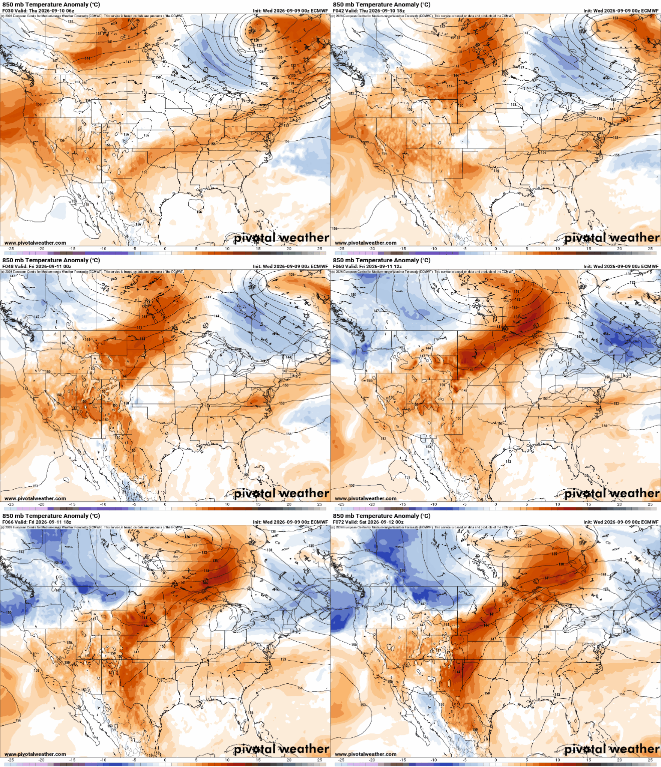
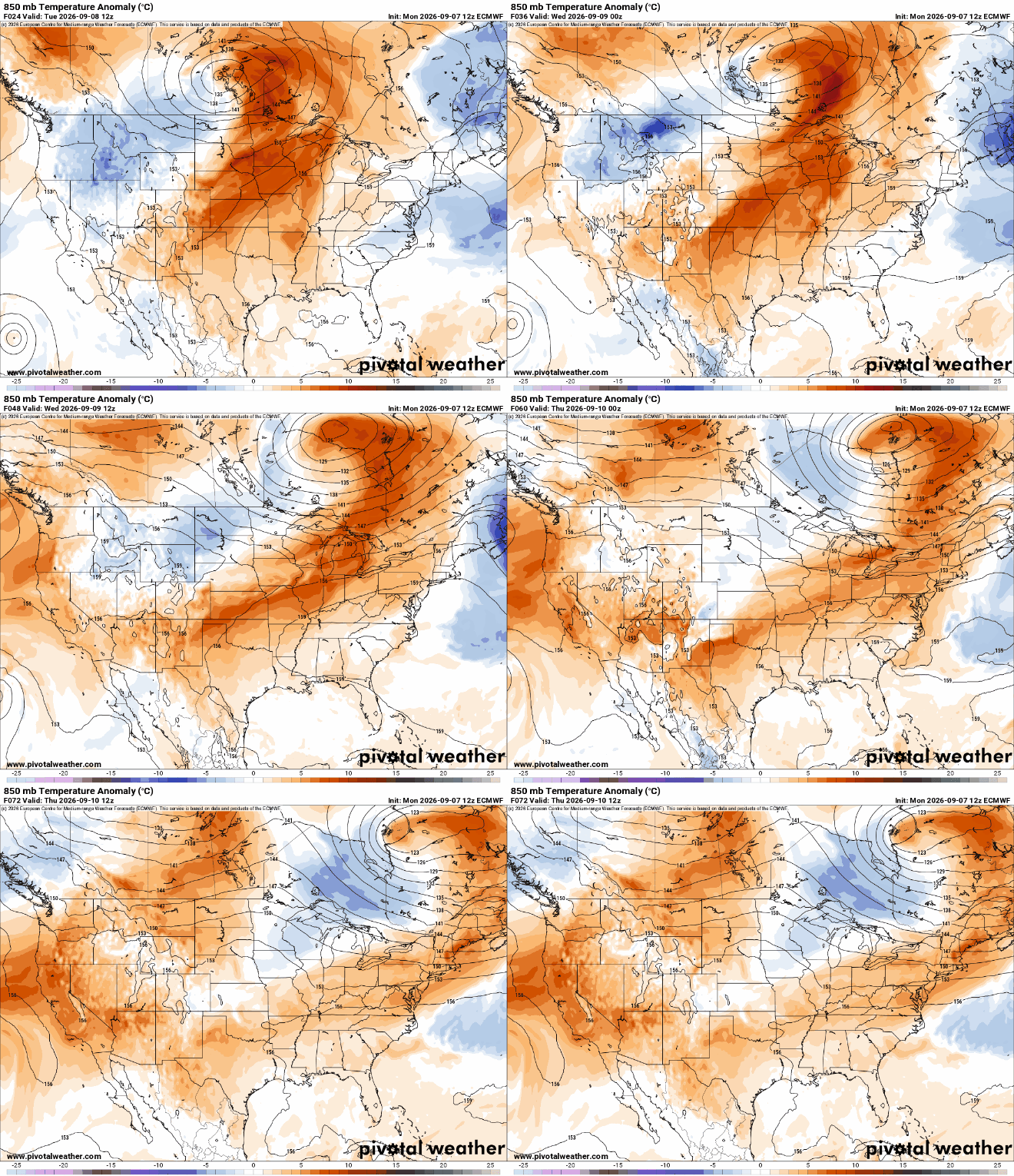
After a cool start, warmer air is already moving back in for Thursday and Friday. The next cool front will touch off some storms Friday night, followed by cooler temperatures again.
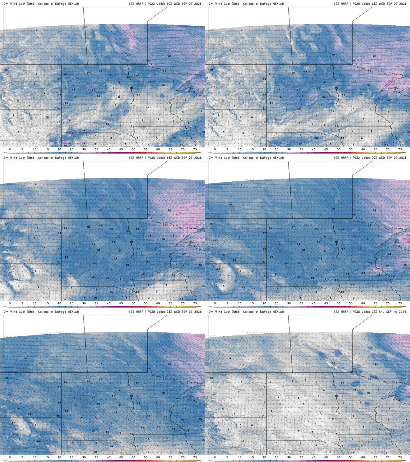
It’ll be a pleasant Wednesday with cooler and breezy conditions. Temperatures warm again Thursday and Friday. The next chance of storms comes Friday night.
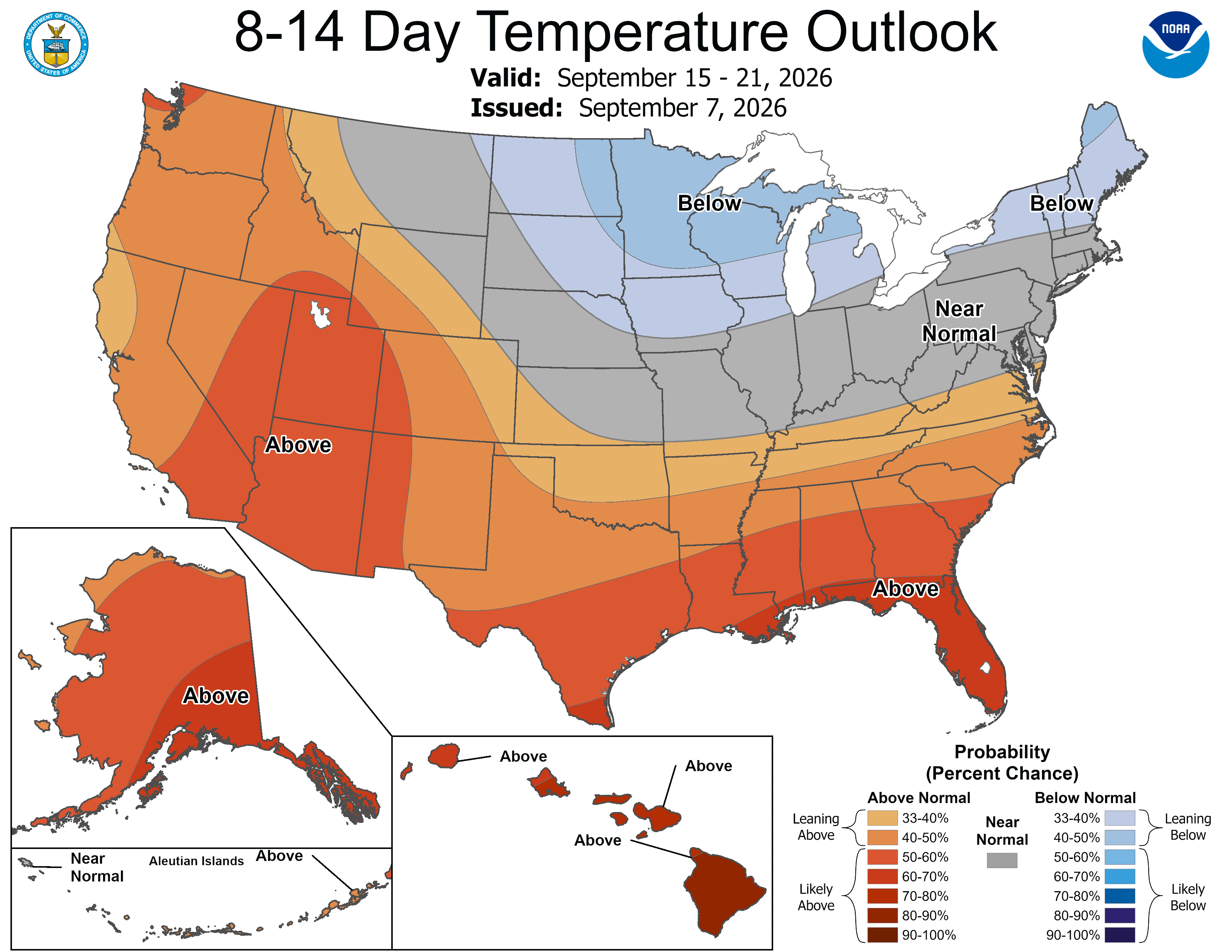
Minnesota’s coldest weather since mid-May is on the way. Highs in the 50s will be widespread early next week. There could be some strong storms Friday night that set the temperature change into motion.
Sunday is shaping up to be a warm and humid day at the Minnesota State Fair, with steamy dew points remaining in the 60s and afternoon temperatures climbing into the lower 80s.
For fairgoers in the Twin Cities, the overall forecast looks favorable, although there is a chance for rain and thunderstorms farther west.
Much like Friday at the State Fair, and across the eastern parts of Minnesota for that matter, we will wake up to fog. It’s much cooler in the northern half of Minnesota on Saturday, and much hotter to the south. Rain is really spotty along the Minnesota border with the Dakotas.
When it comes to staying informed in Minnesota, our newsletters overdeliver. Sign-up now for headlines, breaking news, hometown stories, weather and much more. Delivered weekday mornings.