Weather and Climate News

Starting to warm up with heat, humidity returning this weekend
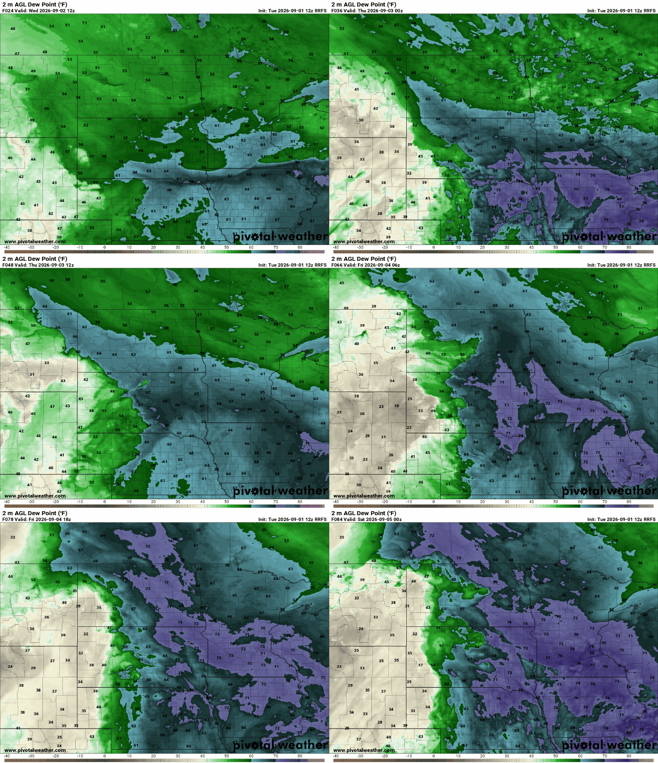
We’ll see temperatures warm back into the 80s for many Thursday and Friday. Heat and humidity return for the weekend, and we’ll see a couple thunderstorm chances.
A couple more pleasant days before heat returns
Wednesday will bring a day of cooler than normal temperatures and comfortable dew points again. Thursday and Friday should remain pleasant before it heats up again.
Heat wave ends but drought risk climbs quickly
There aren’t many chances ahead for heavy rain. Slightly lower temperatures will help slow evaporation, but we need more rain as soon as possible.
Cleaner skies ahead despite another round of light wildfire smoke
Minnesotans can look forward to a refreshing change as cooler temperatures follow the historic heat wave, along with improved air quality over the next several days.
Cooler and more comfortable for a few days
Highs Tuesday and Wednesday will be in the 70s for most. That’s five to 20 degrees cooler than Monday for most. The heat returns by the weekend however.
Finally some relief: Cleaner air and a break in Minnesota's historic heat
For the first time in days, we don't have an air quality alert due to wildfire smoke. While a little light smoke could drift in overnight on northwest winds, it won't have much impact.
Hot with storm chances Monday, then a cooler break
It’ll be steamy Monday with early morning storms and more storms developing southeast later in the day. Behind that cool front, we’ll get a few days of nice weather before heat returns.
Heat, smoke and storms: An active start to the week
Heat, wildfire smoke and the threat of severe thunderstorms will all play a role in our forecast before cooler, more comfortable air arrives by Tuesday.