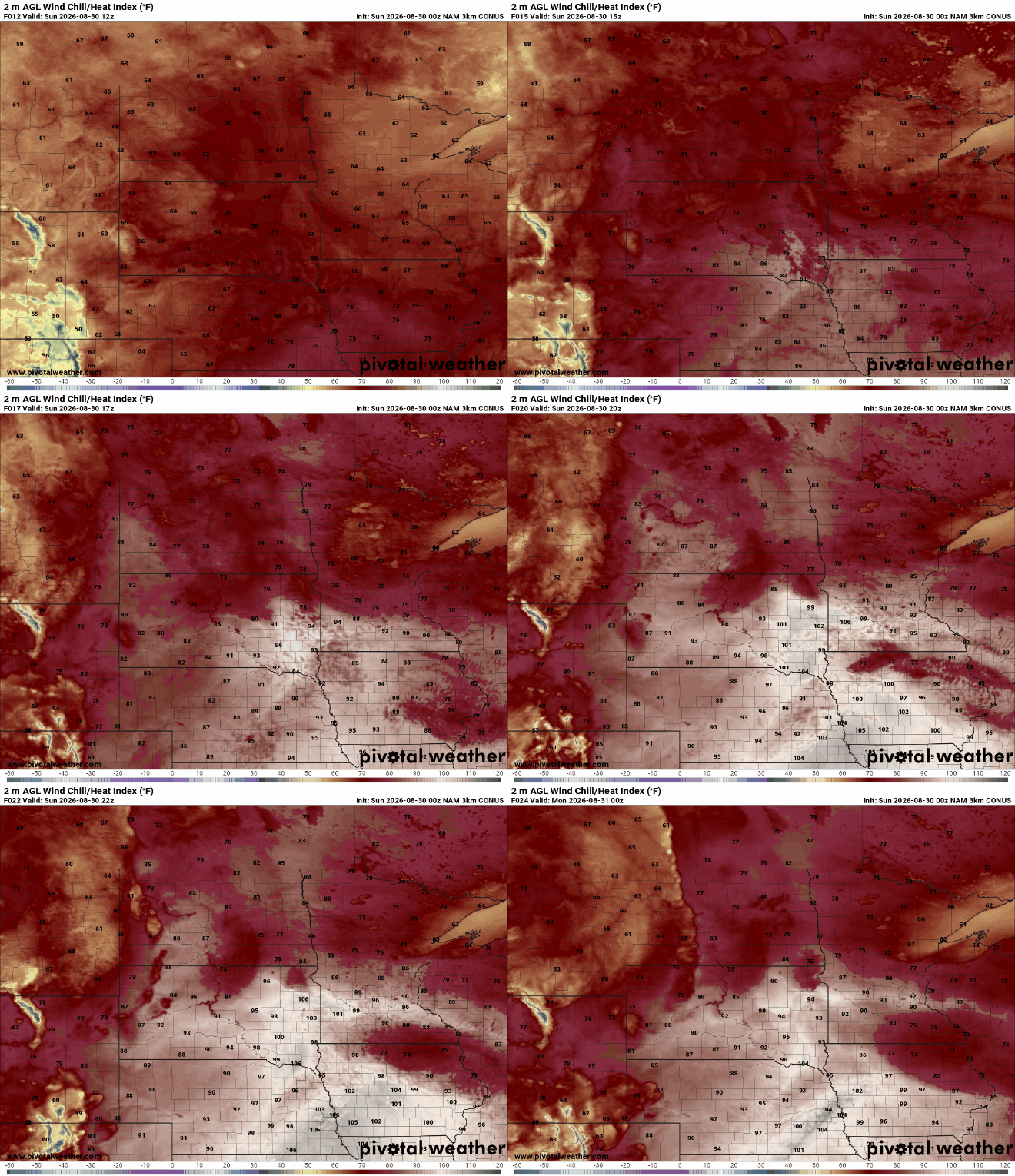
Temperatures will warm back into the upper 80s and low 90s Sunday while wildfire smoke lingers across eastern and northeastern Minnesota. By late Sunday night, attention shifts to our next round of potentially strong to severe thunderstorms.
Wildfire smoke and air quality alerts remain our focus through the weekend, with some smoke intrusion possible Saturday night. Our next best chance of showers and thunderstorms comes Sunday night into Monday.
The smoke continues to retreat some Friday. It will be another hot day before temperatures very subtly drop into early next week. Only spotty rain chances ahead.
We still have a few more days of heat to get through in central and southern Minnesota. There are only some spotty rain chances ahead. Smoke will likely move north a bit again Thursday.
The preliminary reading of 600.1 is the highest hourly fine particle concentrations from wildfire smoke measured by monitors in Minnesota since 2014, according to the MPCA.
When it comes to staying informed in Minnesota, our newsletters overdeliver. Sign-up now for headlines, breaking news, hometown stories, weather and much more. Delivered weekday mornings.