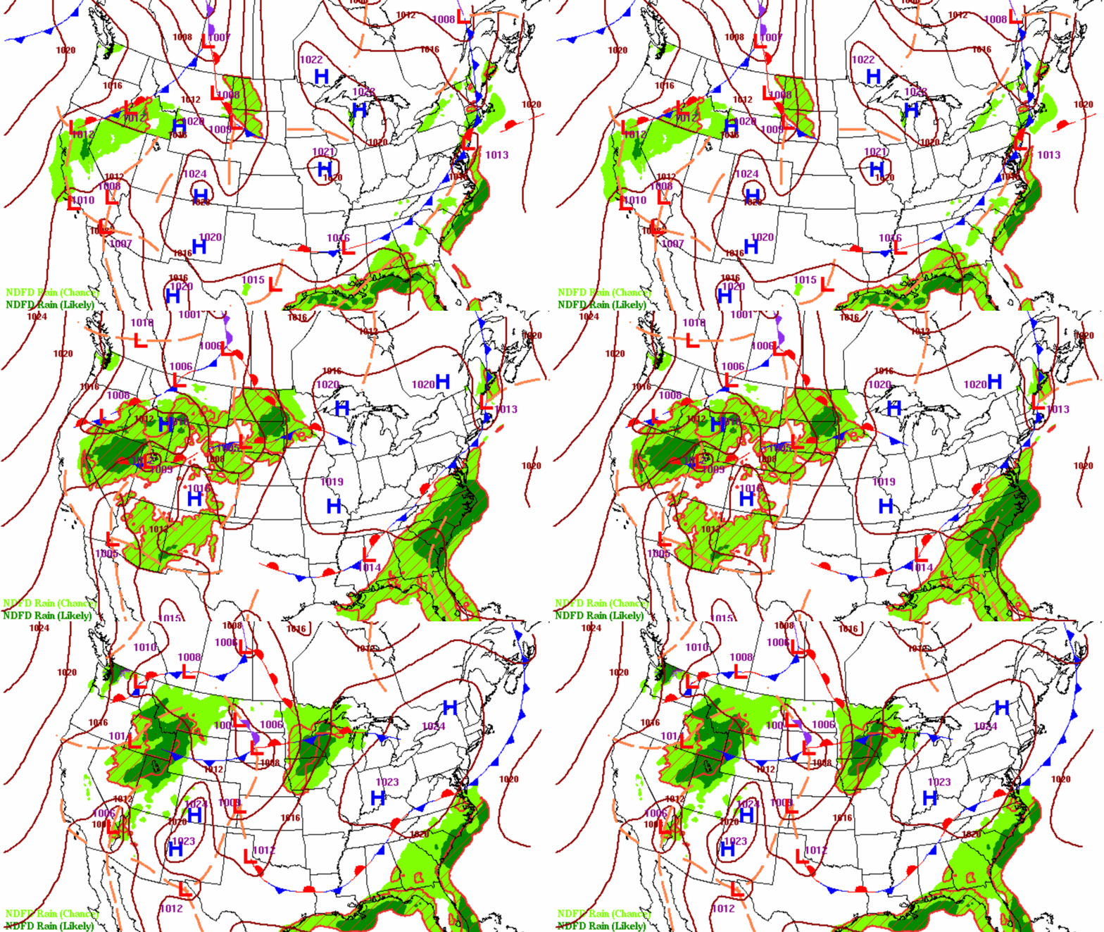
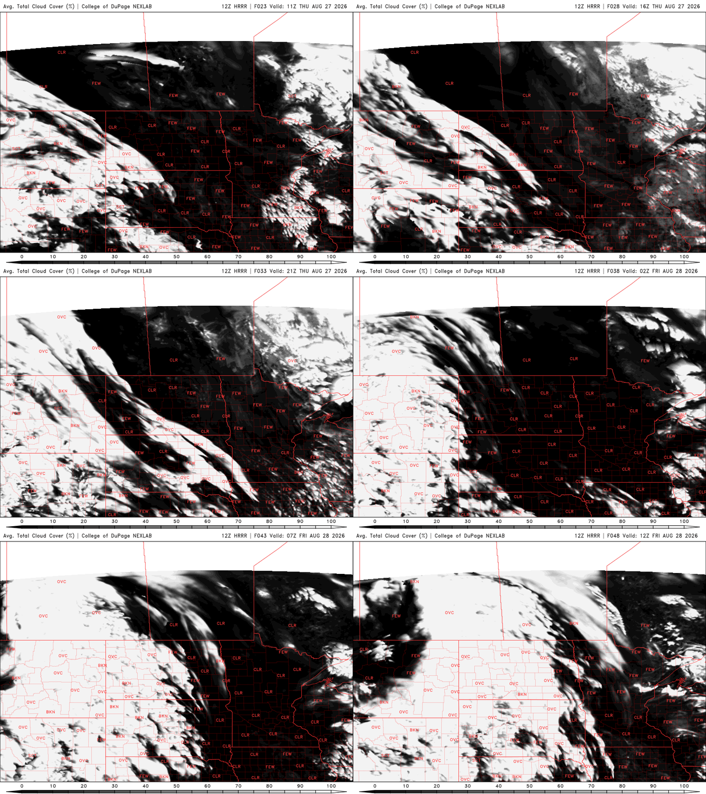
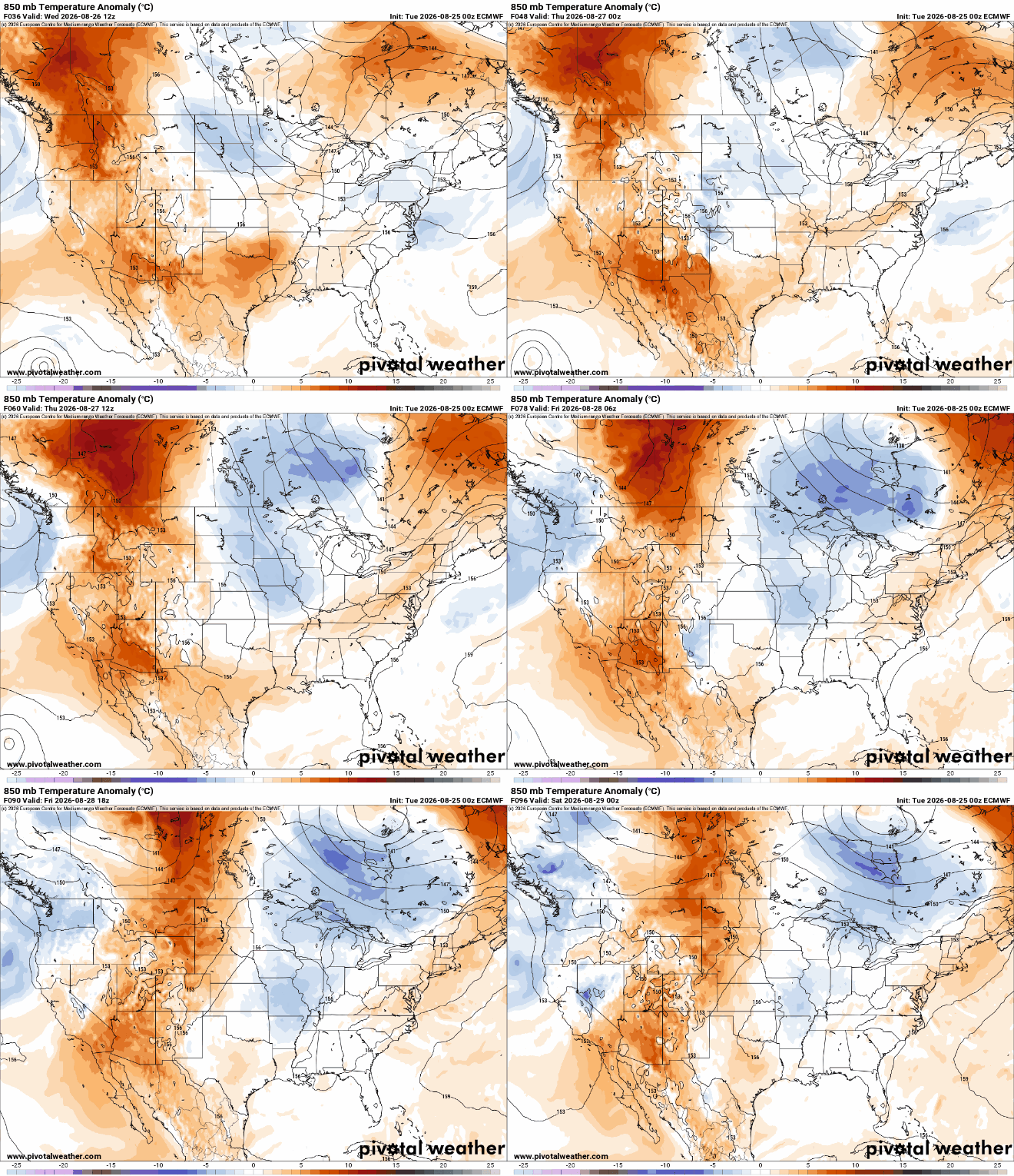
Northern Minnesota will cool off into the 80s Wednesday but temperatures in the 90s continue for central and southern Minnesota through Saturday. Rain chances will be few and far between.
Following the worst day of heat in Boundary Waters history, the air quality from wildfire smoke is worsening. We have your 90s heat forecast plus more on the smoke.
The Particulate Matter 2.5 Index, which measures wildfire smoke, was at 176 in Grand Portage Tuesday morning. That was worse than other spots in southern California and in Colorado where there are active wildfires.
Northwestern Minnesota will be slightly cooler but most of the state will continue to bake in the 90s Tuesday afternoon and through the week. We’ll see just spotty thunder chances late week.
We’re in the low to mid-90s all across Minnesota this week. The Arrowhead on Monday is having one of its hottest days ever recorded with wildfire smoke continuing in the Boundary Waters. There are only a couple of chances of rain through Friday morning.
Every second counts when thunderstorms develop. In a warming climate where lightning is expected to become more frequent, having advance notice before the first bolt strikes can make all the difference.
Minnesota's climate is warming and extreme heat is becoming a bigger health concern. MPR News host Angela Davis talks with her guests about how dangerous heat affects our health, who's most at risk, and how to stay safe.
The U.S. Forest Service is temporarily closing the Boundary Waters Canoe Area Wilderness as concerns grow over the multiple wildfires burning in northeastern Minnesota and an extremely hot, dry weather forecast into the upcoming week.
When it comes to staying informed in Minnesota, our newsletters overdeliver. Sign-up now for headlines, breaking news, hometown stories, weather and much more. Delivered weekday mornings.