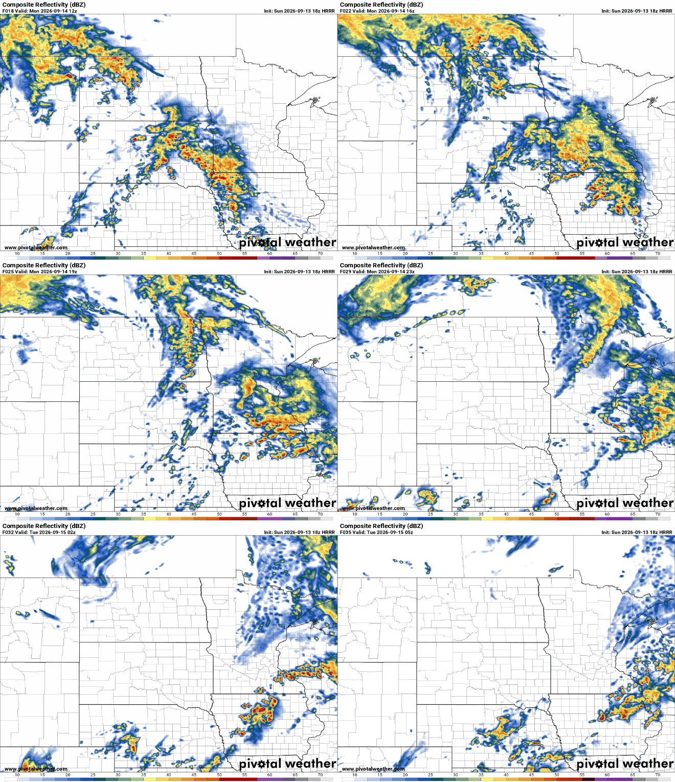
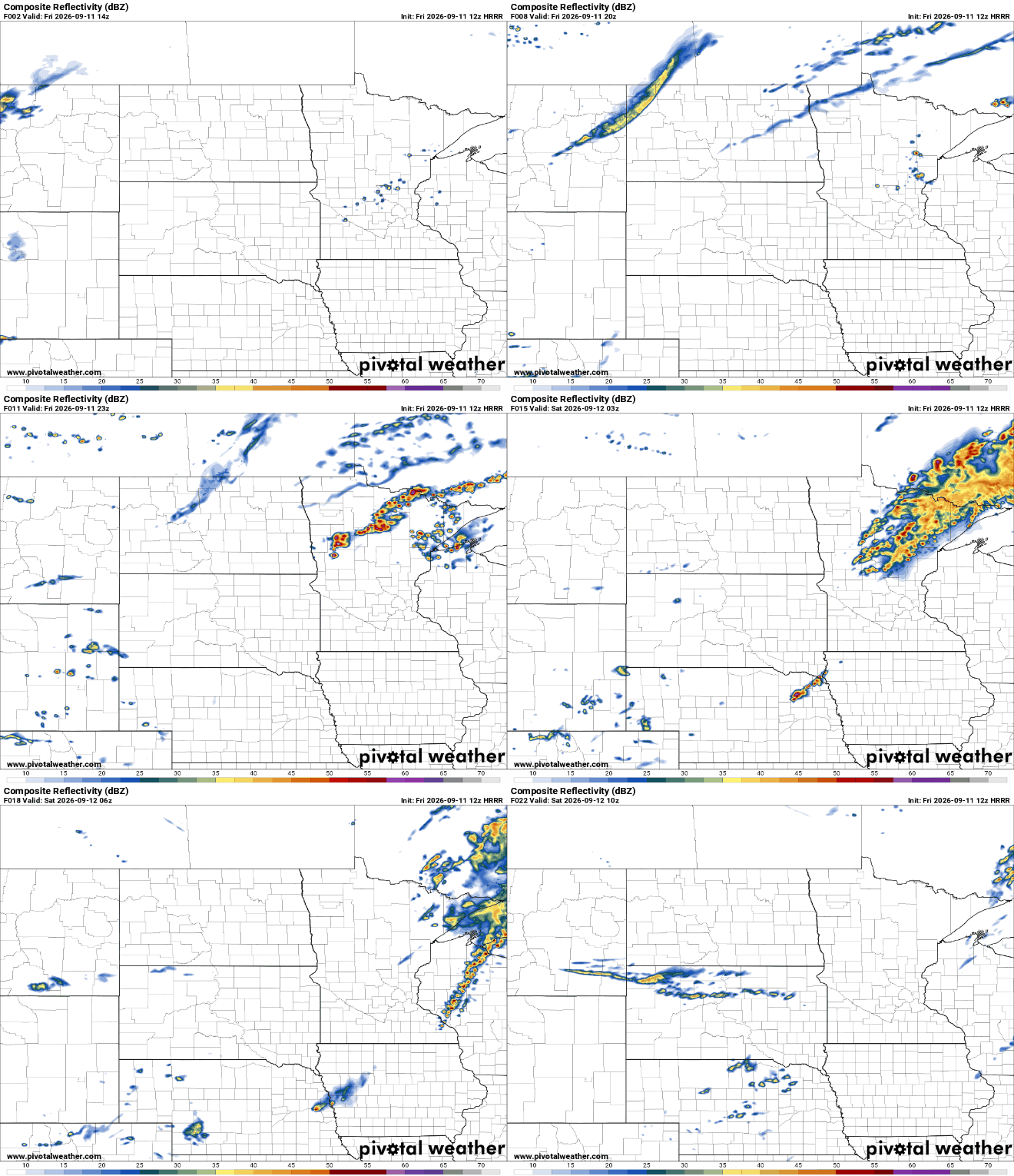
We’ll have lots of clouds and scattered showers and thunder Friday. Sunshine will break out slowly from north to south. A nice, seasonable weekend is on the way.
Thursday will be another very warm and muggy day, but some rain and thunder is on the way for many of us — and we could really use it. Slightly cooler, more seasonable temperatures follow.
We’ll be near 90 degrees still Wednesday and Thursday. We have a decent chance of needed rain and thunder Thursday night into Friday followed by more seasonable temperatures.
As meteorologists, one of the questions we hear all the time is: “Why don't you talk about relative humidity?” After all, it's the humidity number most people see on weather apps and forecasts. The answer is simple: relative humidity doesn't tell the whole story.
We’ve had some rain at times, sure, but drought is building into parts of Minnesota and there’s only really one widespread chance of rain at a statewide level in the next few days. That happens at the same time as highs stay in the lower 90s.
A tornado has struck northeastern Wisconsin, causing widespread damage and power outages. The National Weather Service confirmed Monday afternoon's tornado in Winnebago County. Cities including Appleton and Menasha reported severe impacts, with roofs ripped off homes and vehicles flipped over.
High pressure keeps sunshine in place Tuesday. It will still be hot with highs near 90, but dew points will be just muggy instead of oppressive like early Monday.
When it comes to staying informed in Minnesota, our newsletters overdeliver. Sign-up now for headlines, breaking news, hometown stories, weather and much more. Delivered weekday mornings.