Nicole has strengthened to a tropical storm as it churns toward the northwestern Bahamas and Florida’s Atlantic coastline. A range of warnings and watches remained in place Tuesday throughout the region.
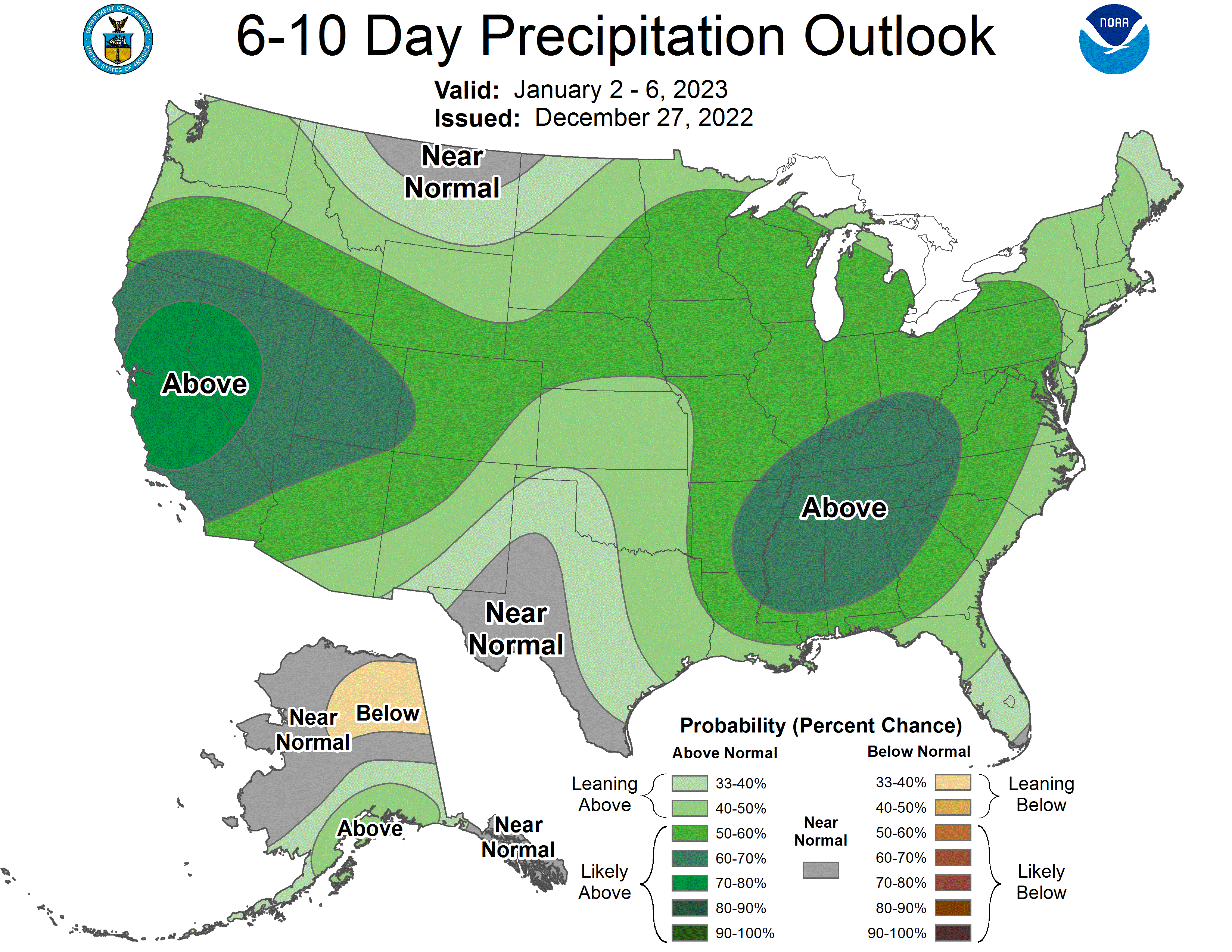
Milder air returns Tuesday with gusty south -southeast winds at 10-20 mph. Afternoon showers develop from west to east across Minnesota. Expect periods of rain through Thursday. Rain turns to significant snow in northern Minnesota Thursday with lighter amounts south.
Tuesday will be warmer and windy with highs in the 50s and 40s. Showers develop west to east late in the day. It’ll be the first of several rounds of rain through Thursday before transitioning to snow in the north Thursday and south Friday.
Officials urged Floridians to "not focus on the exact track" of the storm, which is hundreds of miles across. The unusual, late-season storm could reach Category 1 hurricane strength later this week.
Expect partly cloudy skies, lighter winds and highs in the 30s and 40s on Monday. Showers develop Tuesday afternoon in western Minnesota and spread east overnight into Wednesday. We’ll have waves of rain into Thursday with snow developing in the northwest.
Monday will bring near normal temperatures mainly in the 40s south, 30s north with much lighter winds today and partly cloudy skies. A stormy pattern develops with showers Tuesday into Thursday turning to snow Friday.
Our window-rattling winds will ease up by late Sunday night and quiet weather is expected on Monday. Shower chances return on Tuesday, then soaking rains are possible Wednesday and Thursday. Plowable snow could hit northwestern Minnesota on Thursday.
We’ll have very strong winds Sunday afternoon, and there are wind advisories and red flag warnings for large portions of Minnesota. We have details on all that, plus a look at the week ahead.
When it comes to staying informed in Minnesota, our newsletters overdeliver. Sign-up now for headlines, breaking news, hometown stories, weather and much more. Delivered weekday mornings.