Cooler Tuesday and Wednesday with temperatures near normal in the 50s south, 40s north. Overnights will mainly be in the 30s. Overall, we remain pretty dry with a warming trend heading into the weekend.
Tuesday will be a seasonable late October day with highs in the 50s south and 40s north. We’ll see more sun in the afternoon after lingering clouds move out. Wednesday will be bright and near normal as well before milder air moves in again by the weekend.
The combination of high-level winds carrying dust from the Great Plains, and a trace of rain to bring it to the ground, left a dirty patina on cars and trucks across the region Monday morning.
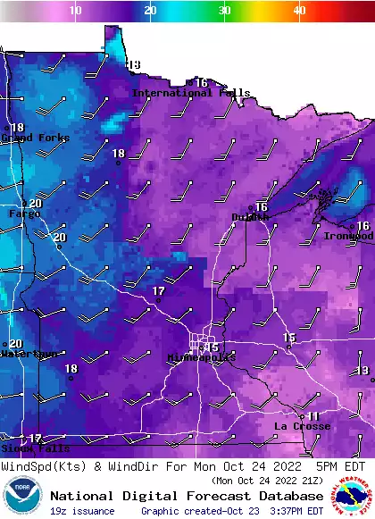
Rainfall amounts were hit and miss Sunday night. A Monday cold front is dropping temperatures. Expect a few showers and a blustery west wind. Monday night temps will drop into the 30s to near 40. Temperatures the remainder of the week will be near normal.
A warm morning Monday with temperatures dropping from the 60s into the 50s. It will be mainly cloudy with isolated shower or a thunderstorm. Monday night will be colder with lows in the 30s to near 40. Sunshine returns Tuesday with seasonable temperatures in the 50s south, 40s north.
Strong winds and unusually warm temps are in the forecast for Sunday afternoon. Some areas will see periods of showers and thunderstorms Sunday evening and overnight. We have an update on all that, plus a fall color report and a look at the week ahead.
It’ll be warm again today, and winds will ramp up. Some areas of strong to severe thunderstorms are possible Sunday evening. We have your Sunday weather details, plus a fall color update.
When it comes to staying informed in Minnesota, our newsletters overdeliver. Sign-up now for headlines, breaking news, hometown stories, weather and much more. Delivered weekday mornings.