After a warm and breezy Saturday, we’ll see winds ramp up a bit more on Sunday. Some strong or severe thunderstorms could develop Sunday evening. We have your Sunday weather details plus a look at the week ahead.
It’ll be a warm and breezy weekend. Some of us will see some showers and thunderstorms Sunday evening into Monday. We have details on all that, plus a look at the week ahead and a fall color update.
We’ll have unusually warm temperatures this Saturday and it’ll be a dry day in most areas. We have your Saturday weather details, plus a fall color update for leaf-peepers.
Severe to extreme drought is expanding through the western and central U.S. A weather system that held the hope for heavy rainfall in Minnesota Sunday night into Monday now appears likely to produce scattered, limited rain.
Weekend high temps will be 15 to 20 degrees warmer than normal across most of Minnesota and western Wisconsin. We have details on that, plus who could see some rain and thunderstorms Sunday afternoon and evening. We also have the updated fall color report for leaf-peepers.
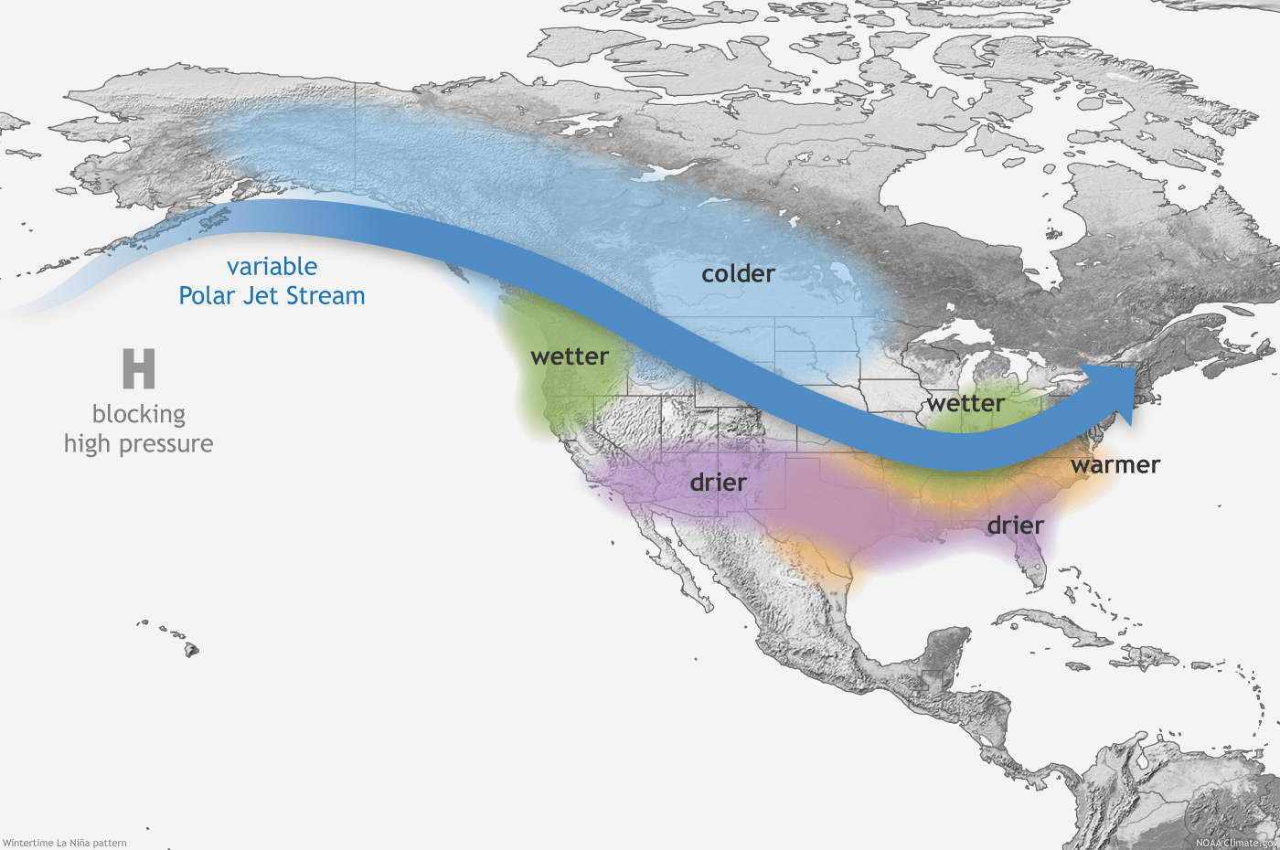
The National Oceanic and Atmospheric Administration winter outlook released Thursday favors cold along with equal chances for above or below-average snowfall.
As the temperatures drop, so do the leaves across the state. Most of Minnesota is “past peak” for fall colors while the Twin Cities, St. Cloud and Rochester are at 75 to 100 of their full peak.
This weekend will be unusually warm and it’ll be breezy too, especially on Sunday. We could see some rain and hear some thunder late in the weekend. We have details on that, plus an updated fall color map for leaf-peepers.
When it comes to staying informed in Minnesota, our newsletters overdeliver. Sign-up now for headlines, breaking news, hometown stories, weather and much more. Delivered weekday mornings.