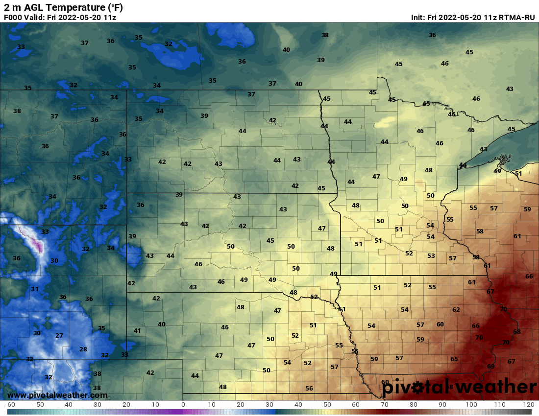
We should have a nice morning (though chilly to start) Friday with some sun before clouds increase ahead of the first of two quick moving clipper systems. Highs will be warmer, well into the 40s statewide.
Saturday will be the warmest day of the weekend, then temps retreat slightly on Sunday. We have your weekend forecast details, including who may see some precipitation.
While most of the precipitation has moved on, the cloud cover will linger much of Thursday for much of Minnesota. We’ll see clearing from northwest to southeast. Blustery northwest winds will keep highs below normal. Fifty degrees returns for many on Friday.
After a few flurries and some early morning drizzle in southeast Minnesota, it will be dry Thursday but we’ll be slowly kicking out the remaining cloud cover through the day. It may not be until sunset that we see the sun in the Twin Cities and southeast Minnesota. Temperatures will mainly be in the 30s.
Paul Huttner and Cathy Wurzer discuss the 2-Part storm system moving across the state and looks forward to milder temps this weekend. Plus, Huttner explains how people can become severe weather spotters for the National Weather Service.
After a wet and icy night, snow will continue to fall Wednesday in northern Minnesota. In southern Minnesota, rain showers and wintry mix turn to snow showers Wednesday afternoon. Warmer temps are on track for Saturday and Sunday.
Depending on where you live in Minnesota, you may have woken up to snow, freezing rain or thunderstorms — or some combination of the three. The messy mix of precipitation caused difficult travel across much of the state.
When it comes to staying informed in Minnesota, our newsletters overdeliver. Sign-up now for headlines, breaking news, hometown stories, weather and much more. Delivered weekday mornings.