Weather and Climate News

Numerous severe storms expected to hit Minnesota Wednesday
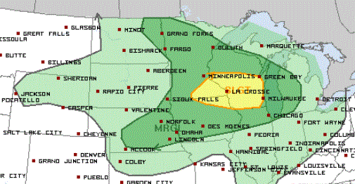
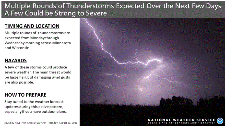
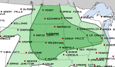
Minnesota sees another hazy day Tuesday, with a few storms possible. A much heavier rain targets southern Minnesota on Wednesday, along with a significant chance for severe weather.
A disturbance moving across Minnesota Tuesday will bring a couple showers and storms, while also drawing more smoke back into the Arrowhead.
The quiet weather pattern of the past couple days changes midweek when a strong storm brings both a heavy rain potential and the risk for severe weather.
Although conditions improve somewhat Monday, smoke from wildfires in Canada keep much of the state hazy, while highs stay in the 80s.
Firefighters working through challenging conditions to contain wildfire east of Ely
Authorities say the largest of several wildfires burning in or near the Boundary Waters Canoe Area Wilderness didn't grow from Saturday into Sunday — but it's proving to be a very challenging fire to contain.
A summery Monday; welcome rain on Wednesday
Be patient if you’re looking for rain. It’s not in the Monday forecast, but many of us could see some meaningful rain on Wednesday. We look at that, plus potential heat next weekend and beyond.
Filtered Sunday sunshine; temps take a dip midweek as rain returns
Our Sunday sunshine will be filtered by a layer of smoke from Canadian wildfires. We have the forecast details for the coming week, including our best chance of rain.
Temps will rebound today and we’ll have filtered sunshine, We have your Sunday forecast details.