For Minnesota’s Caribbean community, the hurricane hits close to home. That’s especially true for at least one Minneapolis resident visiting her mother on the island.
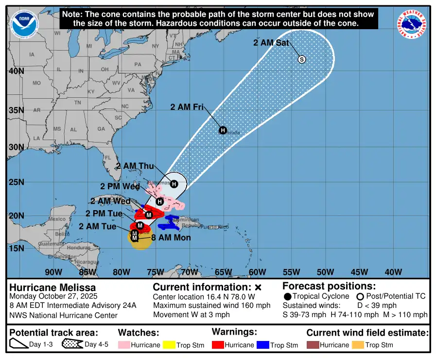
Hurricane Melissa has made landfall in Jamaica as a catastrophic Category 5 storm, one of the strongest Atlantic hurricanes in history. Melissa made landfall Tuesday in southwestern Jamaica near New Hope with estimated maximum sustained winds of 185 mph.
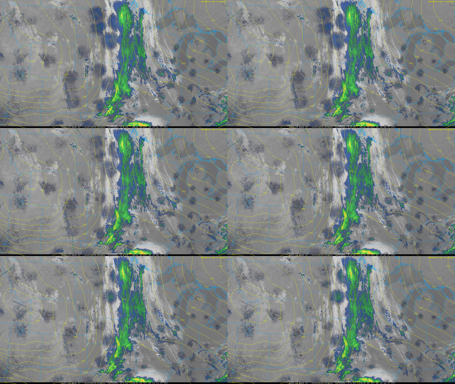
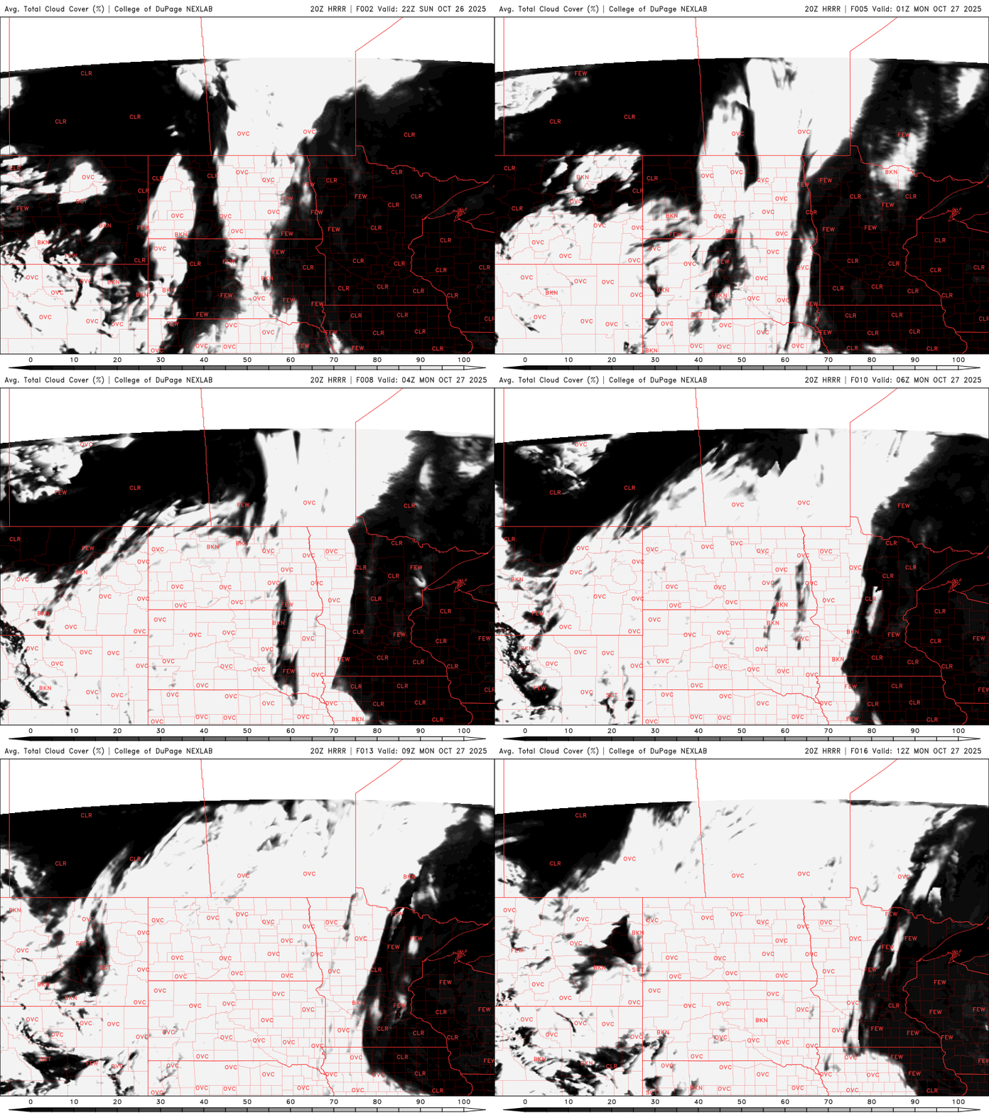
We’ll have on-and-off scattered rain showers Tuesday for much of Minnesota with a sharp gradient in the rainfall across eastern Minnesota. Clouds decrease Wednesday.
Hurricane Melissa has exploded into a Category 5 powerhouse, churning toward Jamaica with record-breaking intensity and the potential to cause catastrophic destruction across the Caribbean.
Our next disturbance is bringing clouds and showers to western Minnesota Monday. Showers will expand east Monday night into Tuesday and Tuesday night before drying out Wednesday.
Hurricane Melissa has intensified to a Category 5 storm as it nears Jamaica. On Monday, the U.S. National Hurricane Center reported that Melissa is expected to make landfall on the island Tuesday, bringing destructive winds and up to 30 inches of rain.
A breezy start to the week is on tap as a large weather system brings periods of rain from Monday night through early Wednesday. After the midweek showers move out, seasonal temperatures will take hold to close out October.
When it comes to staying informed in Minnesota, our newsletters overdeliver. Sign-up now for headlines, breaking news, hometown stories, weather and much more. Delivered weekday mornings.