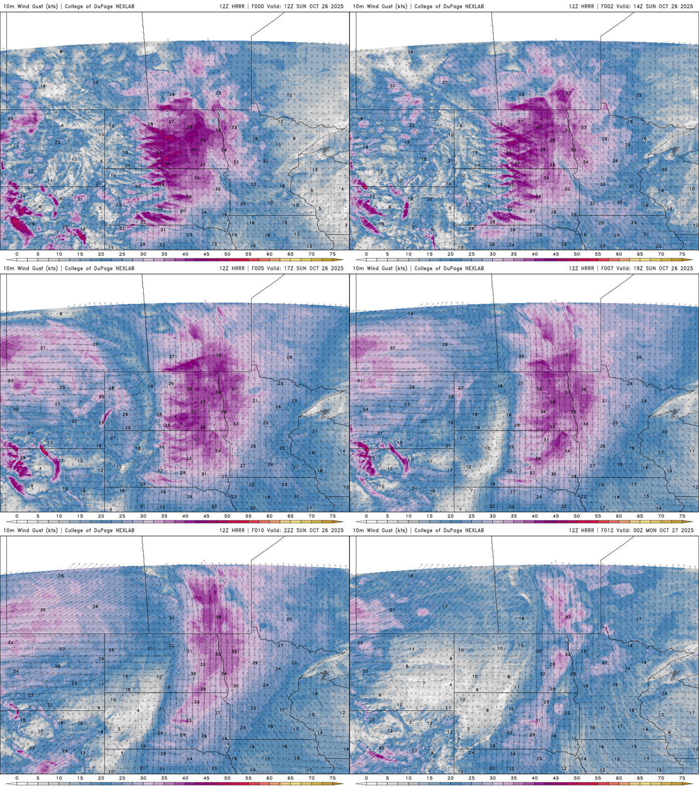
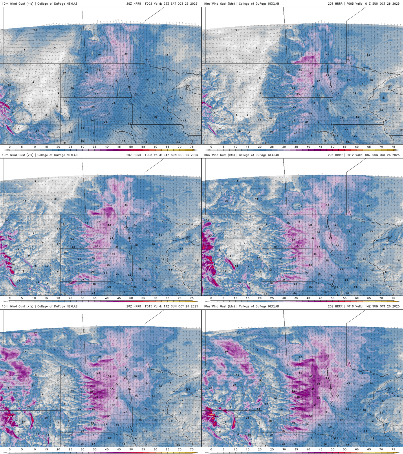
Milder temperatures and sunny skies are in store for our Sunday, with increasing south to southeasterly winds. The new week begins on a wetter note, as rain showers move in and bring the potential for some healthy rainfall totals.
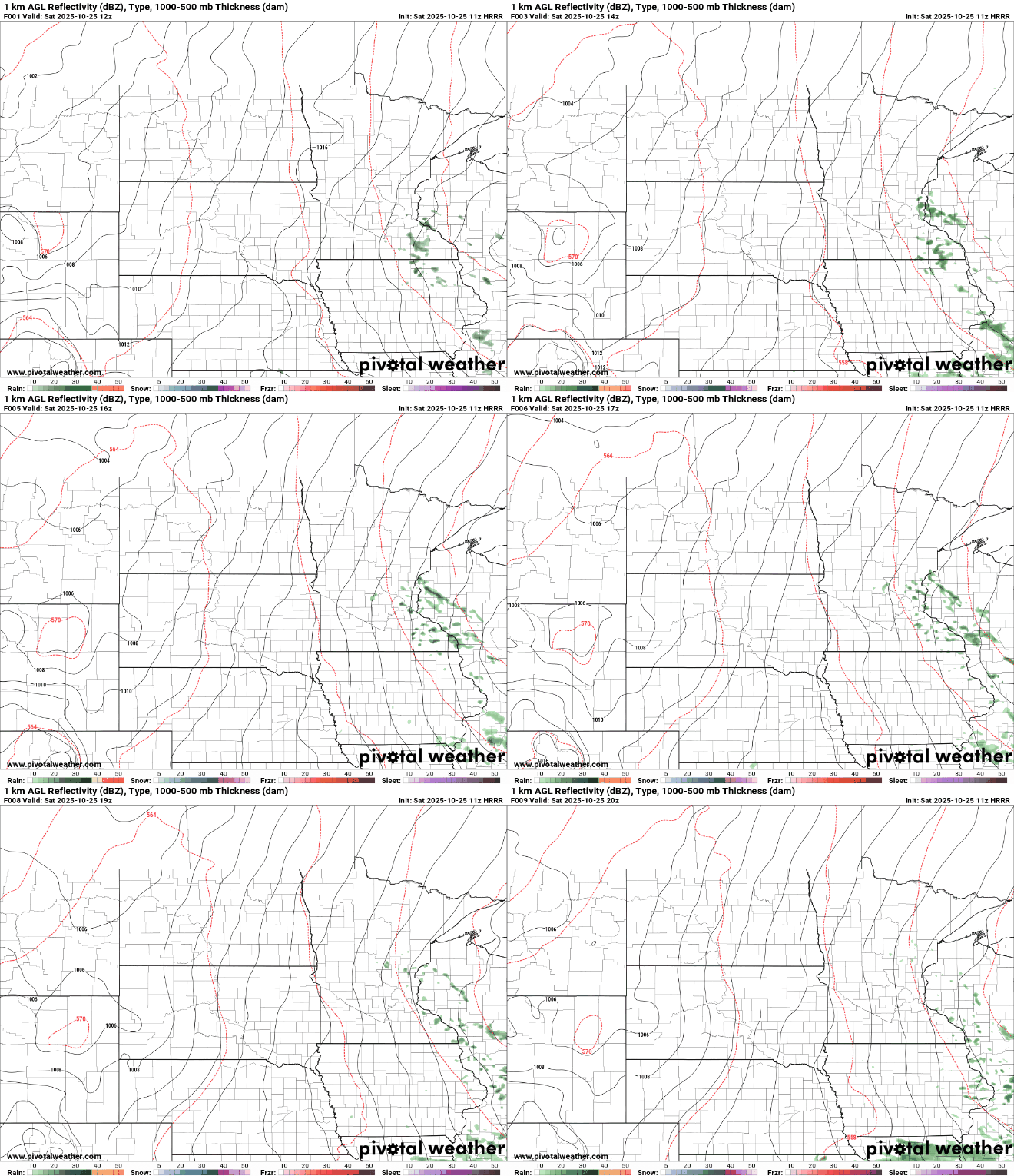
Spotty showers will move out early Saturday morning, giving way to a mostly cloudy but mild afternoon. Temperatures will climb a bit above average, making it a comfortable day to get outside and take in the peak fall colors across the region.
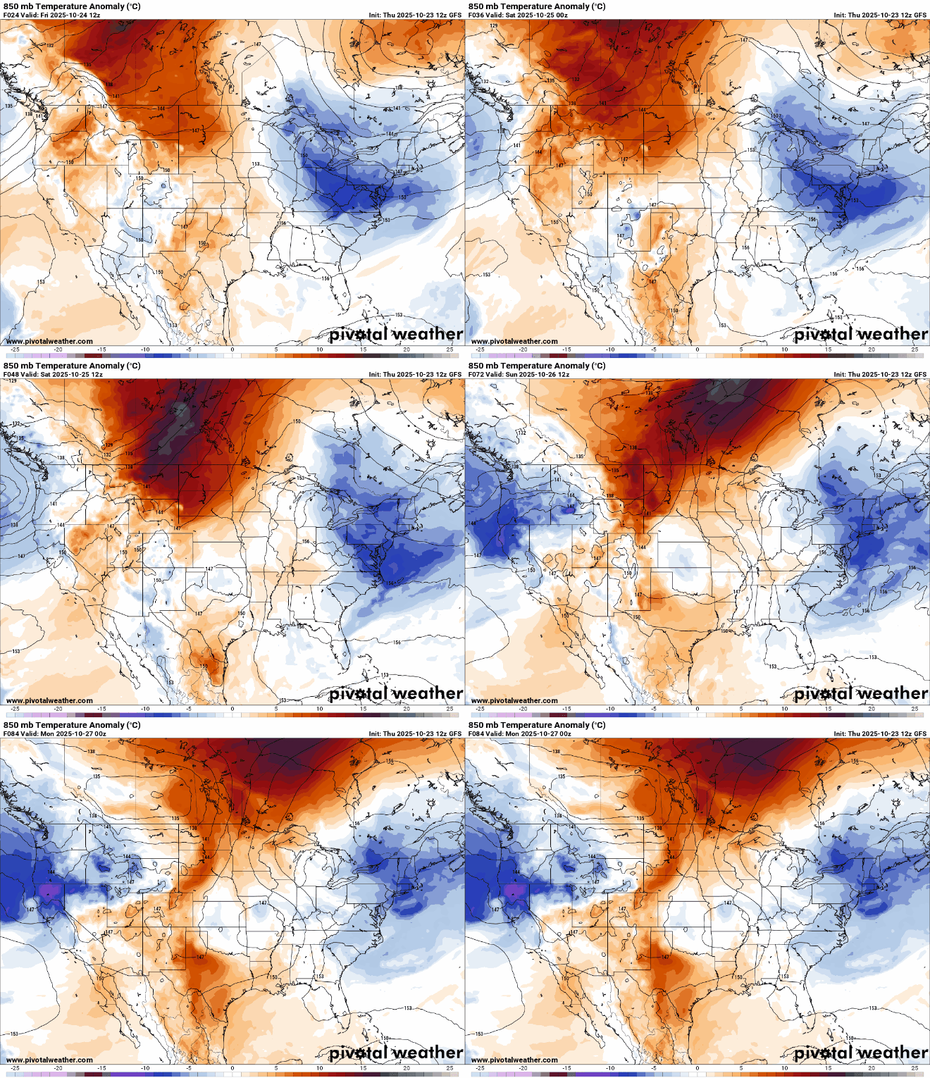
It’s a cold start early Friday. We’ll see sunshine and warmer afternoon highs later in the day. Temperatures will trend upward into the weekend. We have a couple rain chances ahead as well.
We should see more sunshine today across southern and western Minnesota. Tonight will see widespread frost and freezing temps across the state. Warmer air moves in for the weekend.
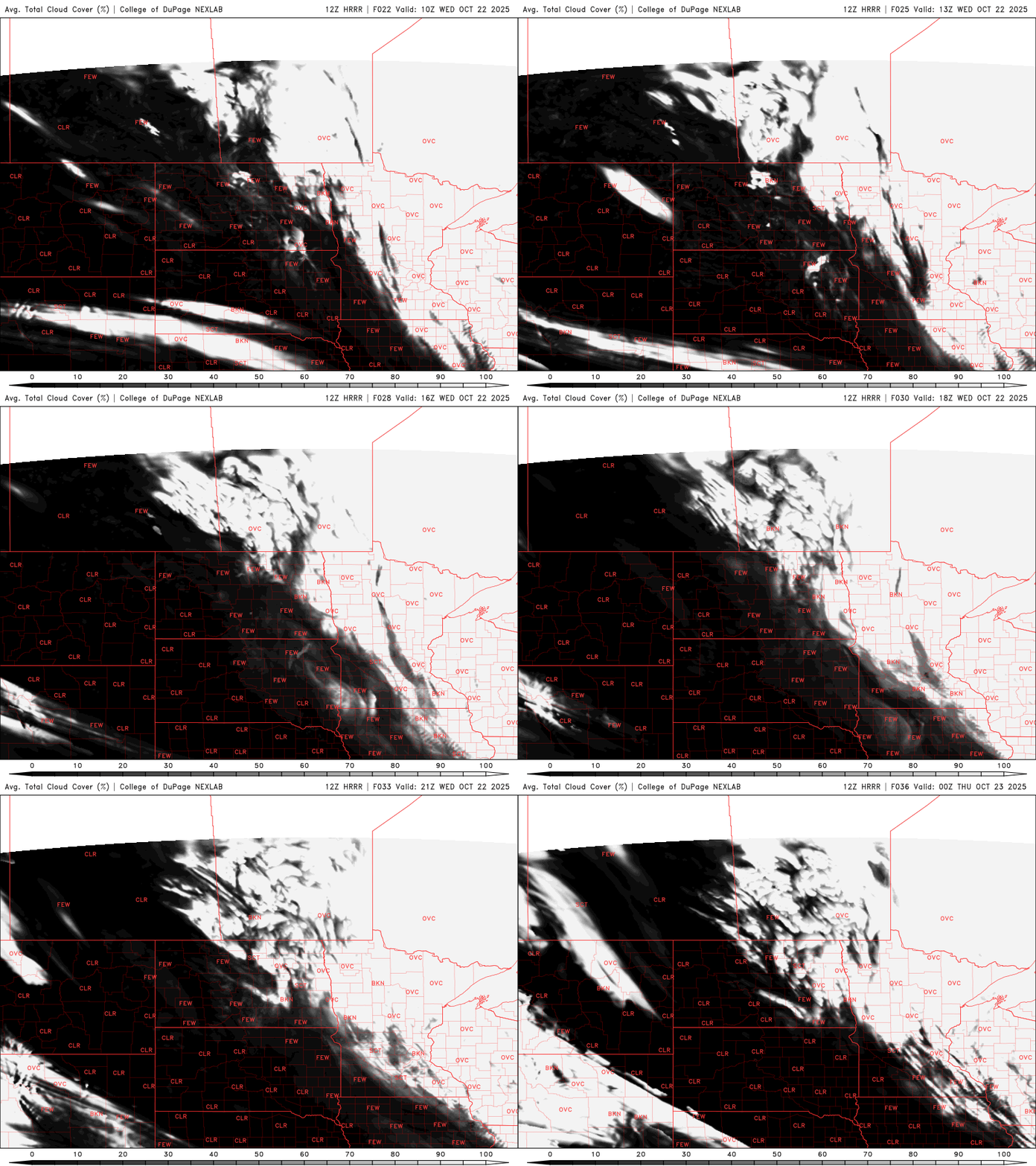
Winds and clouds will slowly decrease Wednesday. Northeastern Minnesota will see some lingering showers. Afternoon highs will reach the low 50s south but Wednesday night will be frosty for most.
When it comes to staying informed in Minnesota, our newsletters overdeliver. Sign-up now for headlines, breaking news, hometown stories, weather and much more. Delivered weekday mornings.