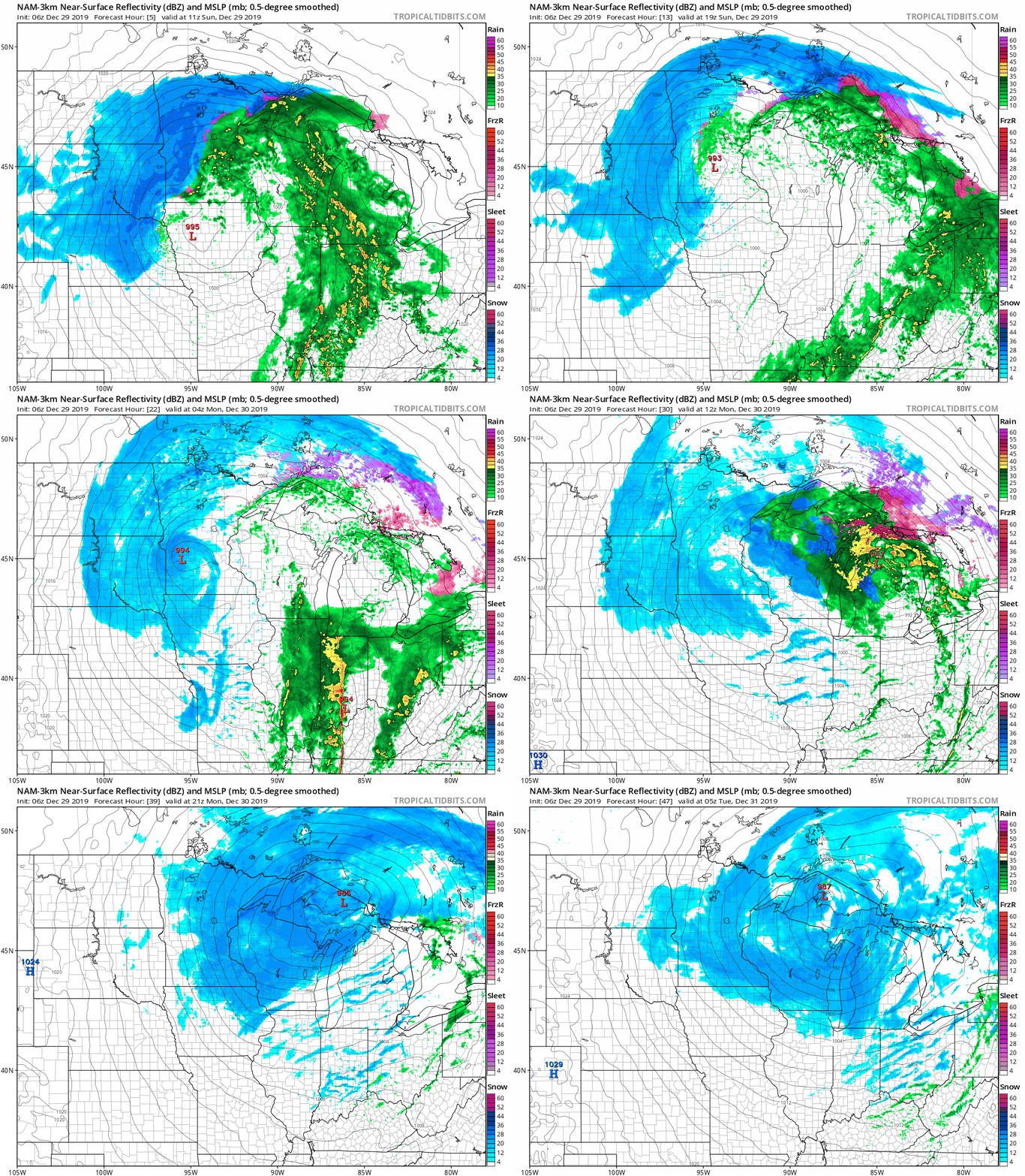
Snow and a possible wintry mix will slow our commutes on Monday. Roads will become slippery in many areas, and winds will be picking up as we go through the day. Our weather quiets down by New Year’s Day.
As the climate warms, recent winters in Anchorage, Alaska, have seen more ice. The trend is leading to safety concerns and new measures to cope in this city where winter is defined by snow.
Much of northwestern Minnesota is getting hit with several inches of snow this Sunday, and blizzard warnings continue for several counties along the Red River. It’s fog, rain showers and drizzle for the Twin Cities metro area. We’ll see snow on Monday in the metro area and much of eastern Minnesota into Wisconsin. Details on how much snow is expected and the timing of the snow.
The city of Duluth closed some streets and parking lots near Lake Superior and the harbor for several hours Sunday due to flooding. Waves covered stretches of the Park Point beach at times.
A blizzard warning remained in effect overnight for the Red River Valley of northwestern Minnesota and eastern North Dakota, as heavy snow and strong winds made travel nearly impossible.
Just rain showers for the Twin Cities metro area today, but heavy snow in parts of western and northern Minnesota. We’ll have snow in the metro area Monday and Monday evening.
Some of us will have rain Saturday night into Sunday, while heavy snow falls in parts of Minnesota. Another batch of snow spins over much of Minnesota and Wisconsin on Monday. We have your winter storm update.
Saturday morning freezing rain contributed to numerous accidents in the Twin Cities metro area. Roads, sidewalks and driveways will remain icy into early afternoon. The latest on our weekend storm, including who in Minnesota can expect the highest snow totals.
When it comes to staying informed in Minnesota, our newsletters overdeliver. Sign-up now for headlines, breaking news, hometown stories, weather and much more. Delivered weekday mornings.