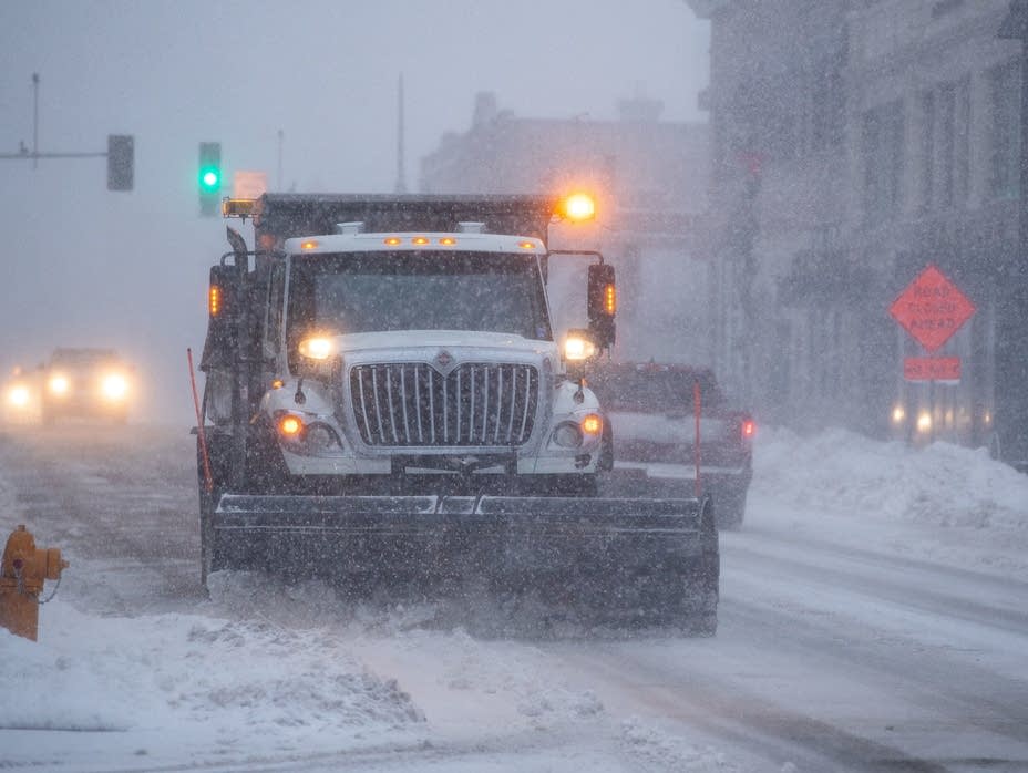
Saturday morning freezing rain contributed to numerous accidents in the Twin Cities metro area. Roads, sidewalks and driveways will remain icy into early afternoon. The latest on our weekend storm, including who in Minnesota can expect the highest snow totals.
Freezing rain turned freeways and sidewalks into skating rinks across the Twin Cities and much of southern Minnesota early Saturday, leading to hundreds of crashes. The coating of ice also created a slippery wonderland for some Twin Cities residents who skated down city streets and sidewalks.
Roads, sidewalks and driveways are icy this morning in the Twin Cities metro area and parts of central and southern Minnesota due to a wintry mix, including freezing rain. Details on what to expect the rest of the weekend.
The storm headed toward Minnesota is bringing along snow, sleet, ice, wind, rain — and maybe even a little thunder. Weekend travel will be messy and even treacherous at times.
Delta Air Lines says it's waiving change fees for travelers flying to or from the Twin Cities this weekend as a major winter storm takes aim at the Upper Midwest.
Heavy snow is most likely in western Minnesota and parts of northern Minnesota. Your weekend travel will be slower than normal, and risky in some areas.
Temperatures will play a major role in the storm, because as the freezing line cuts across Minnesota, it will determine whether you see snow, ice or rain. But no matter where you live, you are assured of this: travel will be slow and messy.
When it comes to staying informed in Minnesota, our newsletters overdeliver. Sign-up now for headlines, breaking news, hometown stories, weather and much more. Delivered weekday mornings.