A departing system is still causing snow and slick roads for northern Minnesota Thursday morning, but the next storm is poised to impact the entire state.
Dense fog will linger over much of Minnesota and western Wisconsin from Wednesday evening into early Thursday. Some areas will also have freezing fog or freezing drizzle, with snow in the mix to the north.
Dense fog and areas of freezing fog and freezing drizzle are on tap for parts of Minnesota and western Wisconsin Wednesday evening and into Thursday. Some accumulating snow is also expected in parts of northern Minnesota.
Go Deeper.
Create an account or log in to save stories.
Like this?
Thanks for liking this story! We have added it to a list of your favorite stories.
A system moving across Minnesota Wednesday and Thursday brings a wintry mix that could slow travel, but an even more potent system could cause widespread impacts this weekend.
Go Deeper.
Create an account or log in to save stories.
Like this?
Thanks for liking this story! We have added it to a list of your favorite stories.
Widespread fog and mild temperatures will take us well into Christmas Day. Some light rain or drizzle are possible in the southern half of Minnesota. Light snow and a wintry mix should break out across the north as Christmas Day proceeds. A couple inches of snow could accumulate in northwestern and north central Minnesota by Thursday. Then watch for the possibility of a major winter storm with heavy snow and strong snow-blowing winds in our general area on the weekend.
Balmy temperatures will continue right through Christmas Day. Some light precipitation should begin on Wednesday and leave a little snow up north by Thursday. A winter storm is possible but not at all certain for the weekend.
We won’t be using our sunglasses the next few days, but shovels could come in handy up north on Thursday. Details on who will get rain and who will get snow this week. A look at our record-setting 2019 precipitation across much of Minnesota.
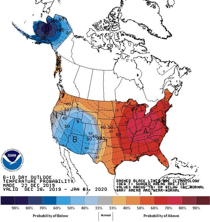
A weak cold front will cool us a bit but temperatures will remain on the mild side this week. A variety of mostly light precipitation is likely to come our way on Christmas Day and mainly Christmas night and Thursday.
Sunday felt more like March than December, but how long will the mild temps last? We look at that and when we might see some rain and snow. You’ll also get a peek at the veils of high clouds that filtered our sunshine Sunday afternoon.
When it comes to staying informed in Minnesota, our newsletters overdeliver. Sign-up now for headlines, breaking news, hometown stories, weather and much more. Delivered weekday mornings.