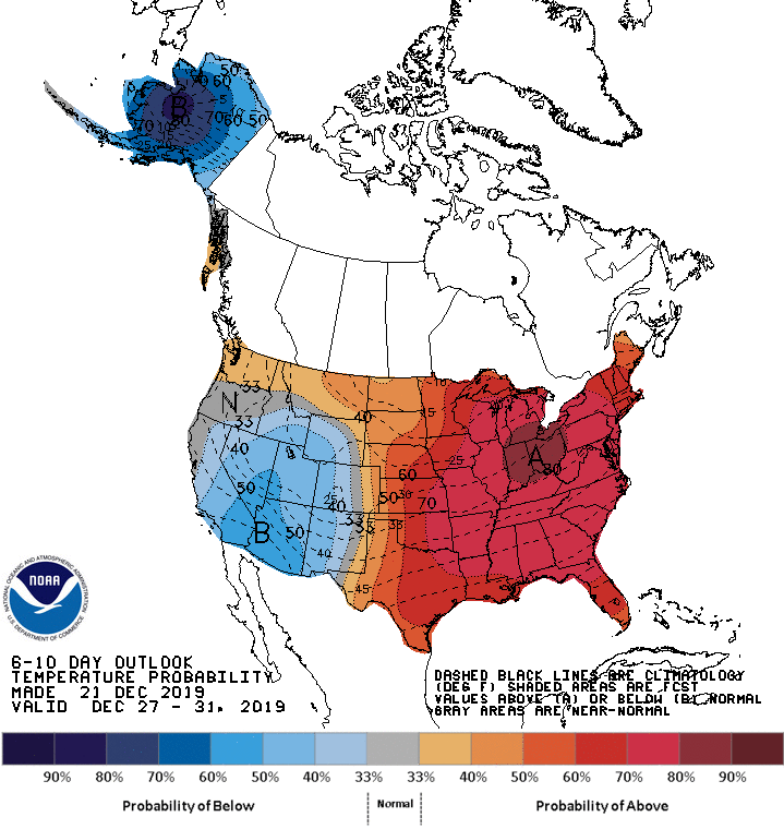
Our Sunday highs will be more than 20 degrees warmer than normal in many areas. We have details on how long the mild temperatures will last and when we may see rain or snow again. We also take a look back at the incredibly cold stretch of weather in December 1983.
Our first full day of astronomical winter will be much milder than normal. We don’t see any arctic plunges in the next week or so. We have updated temperature forecasts and our next chance of rain and snow.
You’ll have unusually warm afternoon and evening temperatures as you do your holiday shopping or play in the snow this weekend. The snow cover will shrink as we go through the next few days.
Our average Twin Cities high temperature is 25 degrees on Dec. 21 and 22. We’ll be seeing highs in the lower 40s this weekend. Some of our snow cover will melt.
Your Friday forecast includes some very mild temperatures. Parts of northeastern Minnesota and northwestern Wisconsin could see some flurries and drizzle/freezing drizzle at times.
When it comes to staying informed in Minnesota, our newsletters overdeliver. Sign-up now for headlines, breaking news, hometown stories, weather and much more. Delivered weekday mornings.