The National Weather Service relayed a report of an 84 mph wind gust with trees uprooted near Glyndon, Minn., just east of Moorhead, on Saturday afternoon.
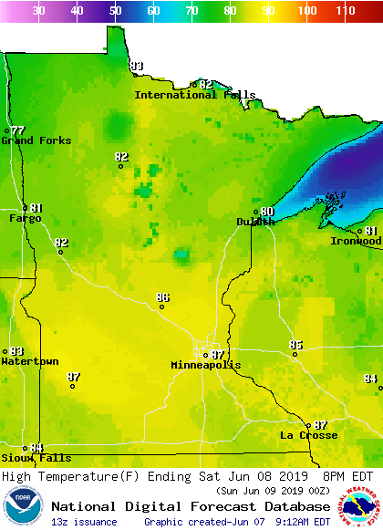
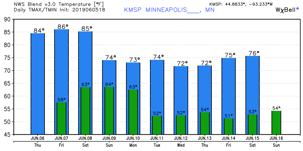
Most of Minnesota and Wisconsin enjoyed beautiful summery weather on Saturday. The high of 88 degrees at Minneapolis-St. Paul International Airport was 11 degrees warmer than our average June 8 high temp. As expected, thunderstorms blossomed over northwestern Minnesota and parts of west-central Minnesota Saturday afternoon. Here’s the Saturday afternoon satellite loop: A severe thunderstorm…
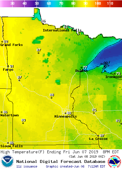
A summery milestone was reached Friday at Minneapolis-St. Paul International Airport: First 90° day of the year in the Twin Cities! The last time we reached 90° was on September 16th. #mnwx pic.twitter.com/MNJWJVrbGi — NWS Twin Cities (@NWSTwinCities) June 7, 2019 The sunshine and warmth was quite a contrast to that rainy day about three…
Retired University of Minnesota meteorologist and climatologist Mark Seeley talks to MPR's Phil Picardi about the storm this week that created severe thunderstorms and a tornado.
How wet has it been the past 12 months? The United States had its wettest June (2018) through May (2019) period, while Minnesota recorded its second-wettest June through May: Record amount of precipitation during the past 12 months: Wisconsin had the wettest June through May on record & Minnesota had the 2nd wettest June through…
Thursday afternoon highs will be in the 80s across most of Minnesota plus western Wisconsin. There'll be some 70s in north-central and northeastern Minnesota and even a few 60s around Grand Marais. Similar highs are on tap for Friday
When it comes to staying informed in Minnesota, our newsletters overdeliver. Sign-up now for headlines, breaking news, hometown stories, weather and much more. Delivered weekday mornings.