Updraft® - Minnesota Weather News

Updraft® is your source for Minnesota forecasts and insights from our expert meteorologists Ben Cathey, Sven Sundgaard and Mandy Thalhuber.

MPR News brings you the latest weather outlook, across all of Minnesota, so you can be better prepared for your day.

Sign up for daily Minnesota weather forecasts from us below.
More heat, rain Thursday, dry to follow
We’ve had some rain at times, sure, but drought is building into parts of Minnesota and there’s only really one widespread chance of rain at a statewide level in the next few days. That happens at the same time as highs stay in the lower 90s.
Still near 90 degrees next few days
High pressure keeps sunshine in place Tuesday. It will still be hot with highs near 90, but dew points will be just muggy instead of oppressive like early Monday.
Ultra-humid feel will crumble Monday but this week will stay hot
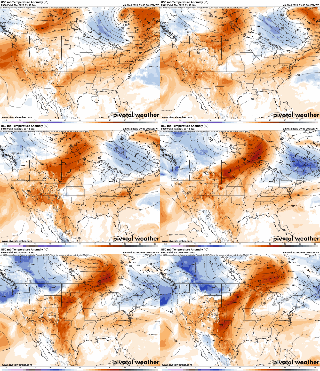
We’ll stay near 90 in the coming days. The best chance for widespread rain this week comes Thursday as the broader heat dome begins to buckle and a northwest flow centers over Minnesota.
One of the muggiest days on record for the Twin Cities
If it felt like you could swim through the air this morning, there was a reason: Twin Cities dew points climbed into the low 80s, approaching all-time record territory.
Still hot Monday but subtle cooling for midweek
A weak cool front is moving across the state but it will still be hot Monday. Temperatures and dew points will drop just a bit for Tuesday. Storms are possible by the end of the week.
Conditional storm threat with heat continuing Monday
Some storms are possible Sunday evening and overnight, mainly northeast Minnesota into Wisconsin. The heat continues this week, though not quite as hot and humid by Tuesday.
Extreme heat Sunday with some possible storms
It will be a steamy one Sunday with afternoon heat index values over 100 degrees. Storms are possible late Sunday into the night. A weak cool front will drop temps and dew points, but just slightly.
The once and future fires: Boundary Waters explained
We’re looking at the weather that preceded the “July Lightning Event” fires aka the Boundary Water fires. Plus, what does the next few months look like?
Extreme heat threat as storms take a pause
Saturday may be sluggish to clear out, but we’re really toasty the next several days.
Two rounds of thunder with another heat wave starting
There are some strong storms Friday evening in northwestern Minnesota and another chance on Sunday. The overarching story statewide is the developing heat wave.