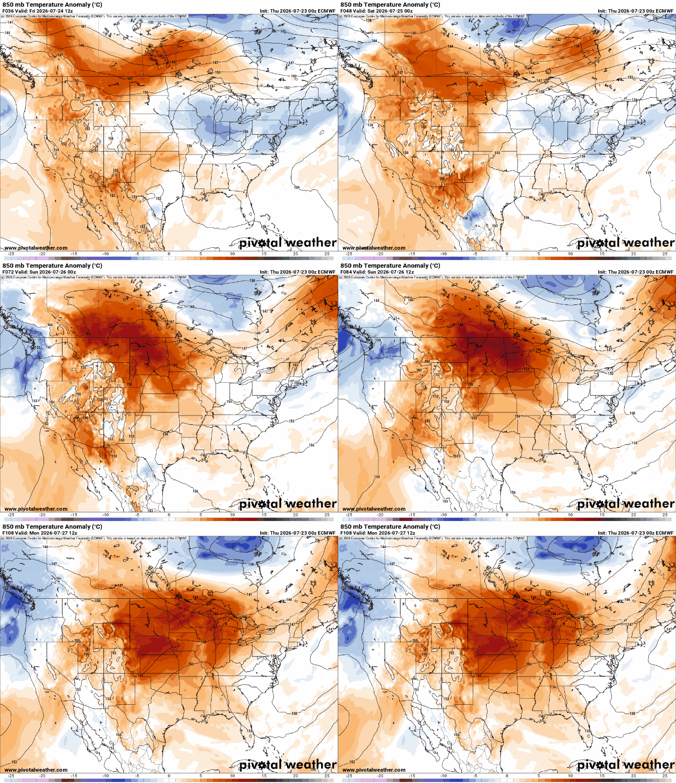
After a stretch of warmer weather, a cooler and drier air mass has settled across Minnesota for this weekend. Temperatures will remain below normal through much of next week, while several opportunities for rainfall return to the forecast.
Rain returns later tonight into very early Saturday, but its impact remains fairly low. Friday’s blue skies and high winds fade into the weekend and heavier rain returns by next Wednesday. There is no immediate, big, signal for severe weather as we near the yearly ‘peak’ for severe chances across the state.
NOAA's (National Oceanic and Atmospheric Administration) Climate Prediction Center announced that El Niño conditions have developed across the tropical Pacific Ocean and are expected to strengthen through the upcoming winter of 2026-27.
Friday will be warmer and brighter with highs back closer to normal for most. Cooler air moves in Friday night and persists into next week. That will keep most significant moisture south, too.
Utility crews continued chainsawing their way through downed trees and branches Thursday to restore power to several thousand homes and businesses in central Minnesota, well over a day after severe storms swept through.
Officials with the Superior National Forest are ending the temporary campfire ban in the Boundary Waters Canoe Area Wilderness, after recent rainfall eased fire danger across northern Minnesota.
Minnesota's drought situation took a major step backward this week. Severe drought expanded from just 1 percent of the state to nearly 10 percent. And first area of extreme drought appeared in Minnesota since March 2024.
A severe thunderstorm watch has been issued for northern Minnesota until 8 p.m. Wednesday with the potential for very large hail, damaging wind gusts and isolated tornadoes.
When it comes to staying informed in Minnesota, our newsletters overdeliver. Sign-up now for headlines, breaking news, hometown stories, weather and much more. Delivered weekday mornings.