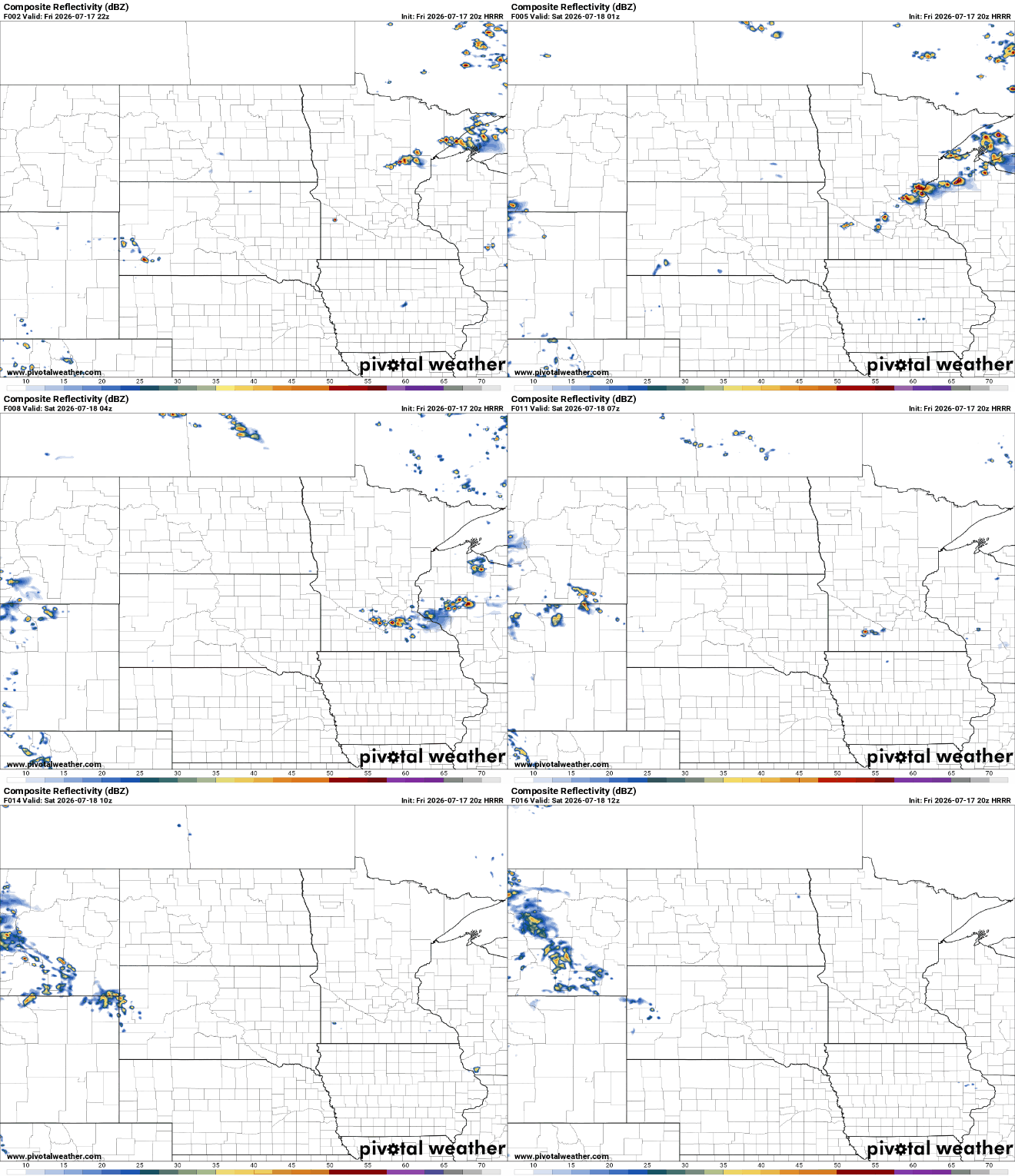
Two rounds of severe thunderstorms swept across Minnesota on Wednesday, bringing large hail and wind gusts of more than 80 mph that downed trees and knocked out power to thousands of homes and businesses.
A second round of storms will develop for the afternoon and evening. Those storms could be strong to severe. Cooler, drier air moves in Wednesday night for the rest of the week.
The fog broke, the sunshine emerged, and we’re off to the 90s for one of the first times this year. The big story is still the two rounds of severe weather happening across Minnesota on Wednesday.
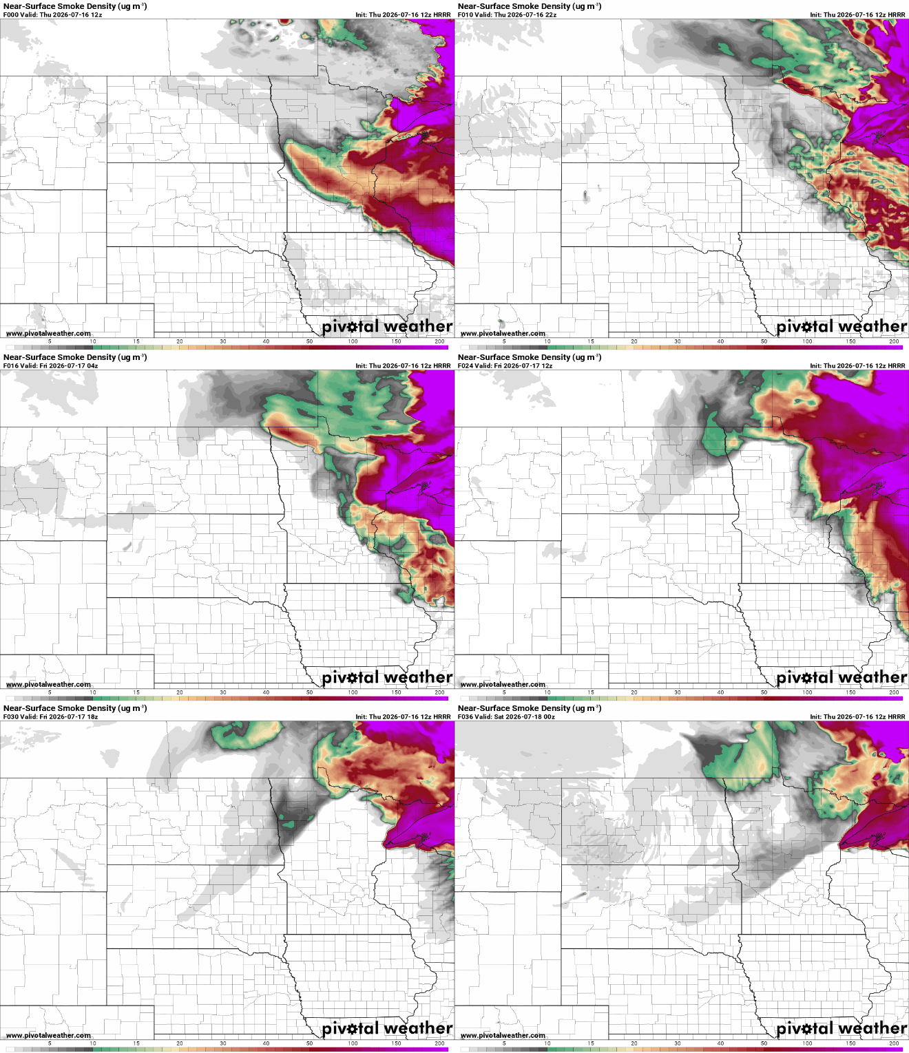
The Minnesota Pollution Control Agency has issued an air quality alert from noon to 9 p.m. Tuesday for the Twin Cities metro area, extending northwest to St. Cloud, Sauk Centre, Long Prairie and Little Falls. It’s due to ground-level ozone.
It’ll be hot and humid Tuesday and Wednesday. Isolated thunder is possible Tuesday, but most will remain dry. Storms will be possible late Tuesday night, early Wednesday and then again later in the day Wednesday.
We’ll be hotter and muggier Tuesday and Wednesday. There’s potentially severe weather Wednesday with a risk level of three out of five in parts of the state.
We’re in for a steamy and stormy few days. We’ll have several chances of storms — some severe — especially Wednesday. It will also be hot and humid before a cool front moves in later in the week.
Amid Minnesota’s frequent temperature swings, there’s one place that scientists expect to stay consistently cool all year: underground. But a geologist says groundwater beneath Minneapolis is warmer than it should be, and he’s concerned that could cause problems above the surface.
When it comes to staying informed in Minnesota, our newsletters overdeliver. Sign-up now for headlines, breaking news, hometown stories, weather and much more. Delivered weekday mornings.