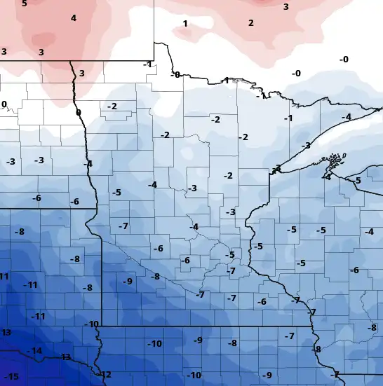
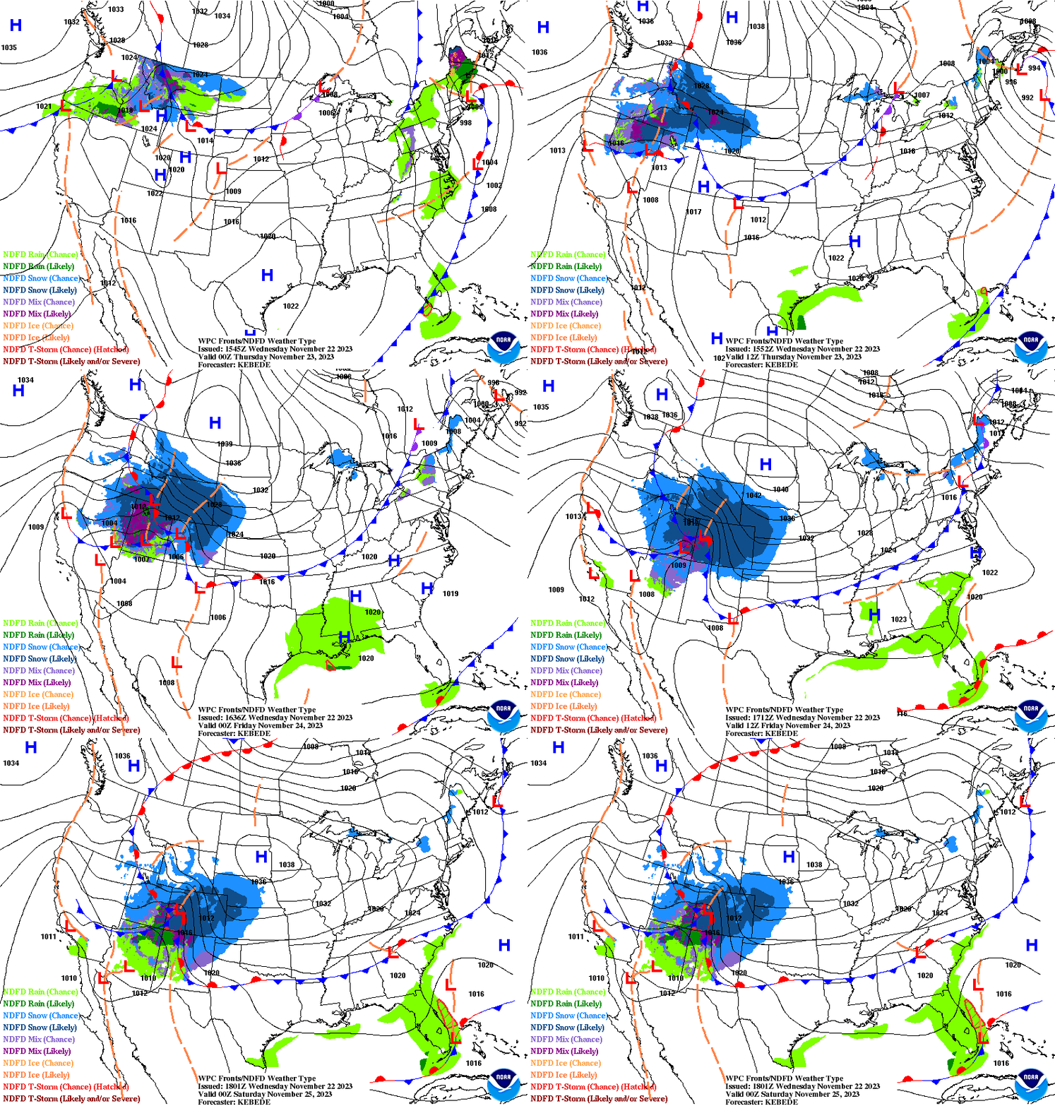
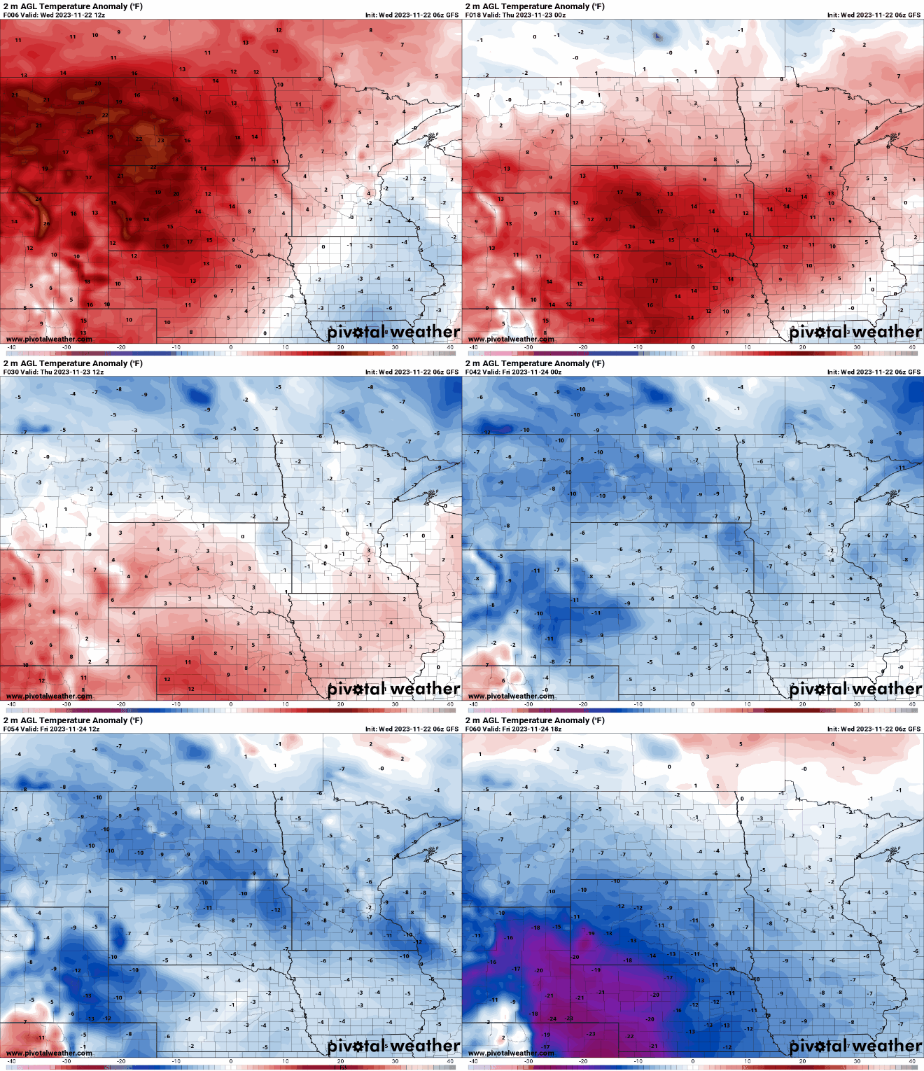
Some showers and thunderstorms are possible late Thursday night into Friday morning as warmer and more humid air surges north. Highs will be well above normal Friday into the weekend.
We’ll have a flashback to summer this weekend. Some spots could see a passing shower or thunderstorm Saturday morning. Leaf-peepers have many options this weekend.
Substantial rainfall in the past seven days had a really positive impact on Minnesota drought conditions, Thursday’s drought monitor report shows. Parts of the state will see a chance of thunderstorms on Friday.
Expect clouds to slowly decrease Thursday allowing temperatures to be a little warmer. Friday will be much warmer with highs near 80 south and the chance of thunder north and west.
We’ll see peeks of sunshine but skies will be mostly cloudy Wednesday with a few spotty showers still. Thursday will bring more sun later in the day ahead of a big weekend warmup.
Areas of cloud cover and even an isolated shower will continue Wednesday for much of central and southern Minnesota. Abundant sunshine will likely wait until Friday.
When it comes to staying informed in Minnesota, our newsletters overdeliver. Sign-up now for headlines, breaking news, hometown stories, weather and much more. Delivered weekday mornings.