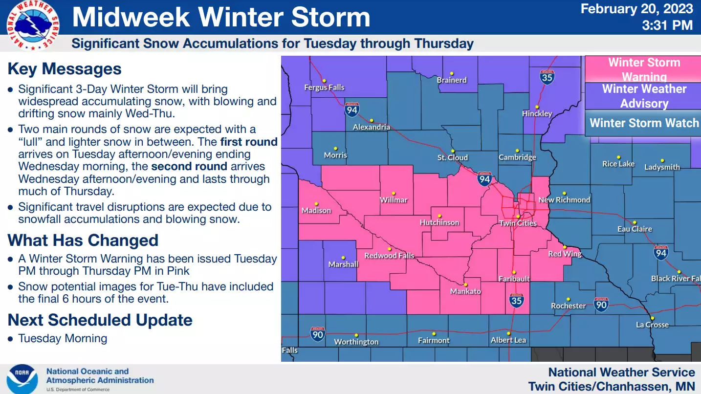
Snow showers will continue Wednesday into Wednesday night with additional accumulation. Temperatures will be relatively mild in eastern Minnesota in the 30s while pushing into the teens in northwest Minnesota.
Steady light snow continued falling across much of Minnesota on Wednesday, the second part of a multi-day winter storm causing treacherous road conditions across the region — if drivers were even able to dig out their vehicles and reach a cleared road.
The early to mid afternoon hours will see very heavy snowfall in the Twin Cities with one inch per hour or more of snowfall. We’ll then see a break late in the afternoon and early evening before lighter to moderate snow redevelops.
Authorities issued a no-travel advisory for parts of southwest Minnesota on Tuesday, as a winter storm continued to bring a wintry mix of precipitation to the region. The National Weather Service reported thundersnow and thundersleet at Albert Lea and Waseca.
A wintry mix of snow and freezing rain showers develop Monday night into Tuesday with the heaviest snow falling Tuesday. Snow showers will linger into early Thursday, making this a prolonged event.
A major winter storm will gradually spread a wintry mix into southern Minnesota on Monday followed by wet snow mainly farther north. Light snow could linger well into Wednesday.
A winter storm will spread snow and freezing rain into Minnesota and western Wisconsin Monday, Monday night and Tuesday. We have an update on snow amounts and who has the best chance of freezing rain.
When it comes to staying informed in Minnesota, our newsletters overdeliver. Sign-up now for headlines, breaking news, hometown stories, weather and much more. Delivered weekday mornings.