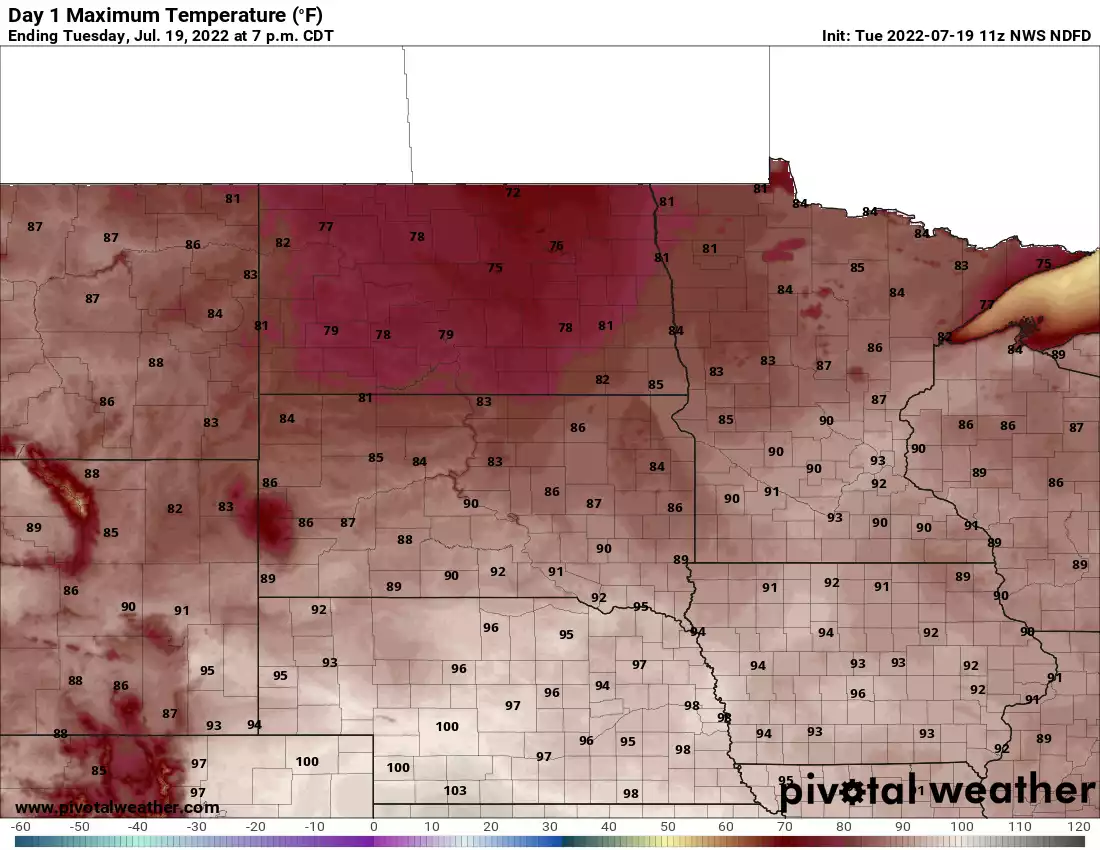
It will still be very warm or even hot, but not like the last two days with lower dew points and slightly cooler temperatures. We will be mainly dry Wednesday and Thursday.
"We're used to treating hot spells as a chance to go play in the sun," said a top government scientist. "Our lifestyles and our infrastructure are not adapted to what is coming."
Showers and clouds will move out across southern Minnesota Tuesday morning. Expect a hot, muggy afternoon with storms redeveloping north late Tuesday. Some storms could be strong there.
A few scattered showers early then clearing and hot midday Tuesday. A few isolated storms are possible again late, mainly in northeastern Minnesota and northwestern Wisconsin.
Monday and Tuesday will be very hot for much of Minnesota. A heat advisory is in effect for much of central and southern Minnesota from 12 p.m. Monday through 6 p.m. Tuesday. Spotty storms will be possible Tuesday.
Most of Minnesota will bake under high temperatures in the 90s with the exception of far northeast Minnesota. There will be isolated thundershowers in northern Minnesota Monday.
When it comes to staying informed in Minnesota, our newsletters overdeliver. Sign-up now for headlines, breaking news, hometown stories, weather and much more. Delivered weekday mornings.