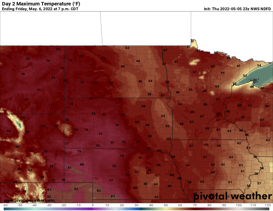
A mild Wednesday with widespread 50s and even 60s in southern Minnesota will give way to cooler temperatures Thursday behind a cold front. Northern Minnesota could see a few light rain showers Wednesday as well.
It will be another very mild day Wednesday with widespread 50s, even 60s in southern Minnesota and 40s to the north. A cool front will bring increased cloud cover and a few sprinkles possible.
Sunshine will warm Minnesota to its highest temperatures yet this season and burn off dense fog that developed overnight across southeast Minnesota by mid to late morning. Highs will be in the 50s across southern Minnesota and in the 40s in the north.
Areas of dense fog blanket portions of southern Minnesota early Tuesday. Temperatures are also below freezing so watch out for areas that refroze overnight creating slick spots. We’ll have a mild day Tuesday afternoon.
Snow and light rain showers are moving across central Minnesota into western Wisconsin Monday morning. Some spots north of the Twin Cities could see up to 2 to 3 inches of snowfall.
An area of snow showers and drizzle is moving across central Minnesota through the morning hours Monday. Portions of central Minnesota will see up to 2 to 3 inches of snow.
When it comes to staying informed in Minnesota, our newsletters overdeliver. Sign-up now for headlines, breaking news, hometown stories, weather and much more. Delivered weekday mornings.