Moisture surges north Tuesday, developing afternoon showers and evening storms. Some could be strong to severe in southern Minnesota. It will be mild and windy as well.
Moisture surges north Tuesday developing afternoon showers and evening storms; some could be strong to severe in southern Minnesota. It will be mild again with 50s south; 40s north.
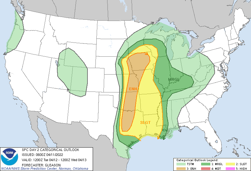
Large severe weather risk zone for the central U.S. Tuesday. Most forecast models favor the best chance for storms in the greater Twin Cities between about 8 p.m. and 11 p.m. Tuesday.
Monday will yield another day of above normal temperatures and some sunshine, although portions of central Minnesota will see a few showers. The weather becomes more wild Tuesday with thunderstorms.
Monday will continue the mild trend of the weekend with temperatures in the 50s to near 60 in southern Minnesota with 40s north. A few showers are possible in central Minnesota.
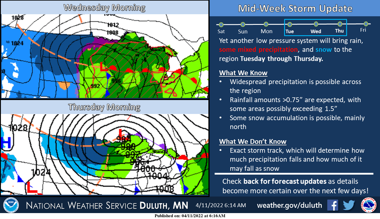
Monday will be the nicest day of the week, then Tuesday and Wednesday look wet. Parts of northern Minnesota could see some heavy snow this week. We have the details for you.
Northern and western Minnesota have the best chance of Sunday afternoon showers, but scattered showers are also possible elsewhere. We have details on that, plus who could see some snow Sunday night. Also, we’ll have strong winds and plenty of rain midweek.
When it comes to staying informed in Minnesota, our newsletters overdeliver. Sign-up now for headlines, breaking news, hometown stories, weather and much more. Delivered weekday mornings.