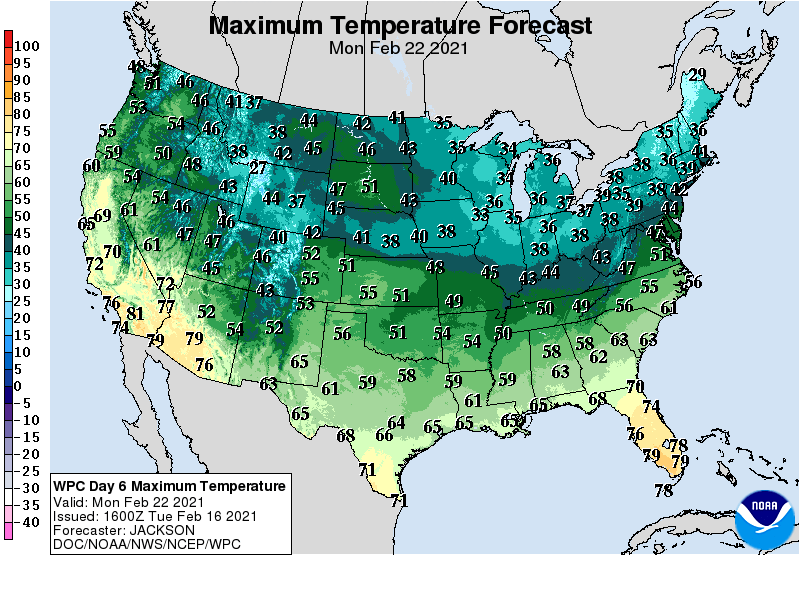
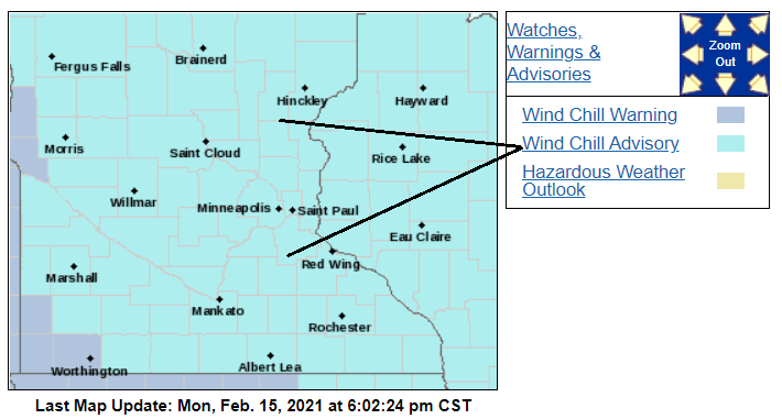
Tuesday’s winter storm brought a fresh blanket of snow statewide with the heaviest snow from west-central to northeastern Minnesota. Now we will be storm-free with gradually milder temperatures into next week.
Snow is making its way across Minnesota, and parts of the state could see up to 6 inches of accumulation. The snow moves out quickly overnight Tuesday, with improving conditions Wednesday.
A winter storm brings snow across the state Tuesday into early Wednesday, with the highest accumulations in southern Minnesota. Most of the state is under a winter weather advisory. The second half of the week turns much quieter, with a seasonable start to the new year.
A winter storm moving through the Midwest brings snow across Minnesota Tuesday into Wednesday, but it is a far different snowstorm than last week’s blizzard.
Following a few flurries Monday, a strong storm passing south of Minnesota brings heavier snow and another round of travel concerns Tuesday into Wednesday.
Our next chance of plowable snow will be on Tuesday. We have updated info on potential snow amounts from that storm, plus a look at temperatures for the coming week and into early January.
It sure looks and feels like late-December, with light snow falling and near normal temps. We have an update on today’s weather, plus a look at the week ahead. Who will see the most snow from the Tuesday/early Wednesday snowstorm?
When it comes to staying informed in Minnesota, our newsletters overdeliver. Sign-up now for headlines, breaking news, hometown stories, weather and much more. Delivered weekday mornings.