Another round of showers and storms is poised to move across Minnesota, but with less extreme rainfall totals than recent storms. Hot and humid weather carries us well into the start of July.
Occasional periods of showers and storms continue across Minnesota, with more widespread rain Wednesday. Then an extend period of heat and humidity begins.
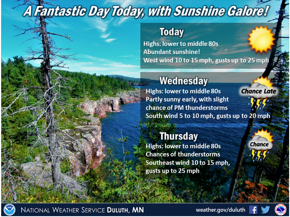
Other than a couple showers and storms that will impact mostly northeastern Minnesota, Tuesday will be much quieter across the state. Along with more sunshine comes the return of the heat.
Minnesota remains active the next few days with occasional showers and storms. Meanwhile, temperatures are on the rise, and most of the state will see 90s by the weekend.
Heavy rain is causing flooding Monday morning, then the afternoon brings dangerous heat. Active weather stays through midweek, but the heat lingers even longer.
A 70-year-old man from Emerald, Wis., died after his minivan went off the road and became submerged in a ditch. The storms swept through the southern Twin Cities metro area before striking western Wisconsin overnight Sunday and into Monday .
Portions of Minnesota are seeing storms with very heavy rain Monday morning. By afternoon, heat and humidity will be the concern, with a heat index near 100 in southern Minnesota.
The NWS Storm Prediction Center has issued a tornado watch valid until 10 p.m. this Sunday evening for the southern portion of the Twin Cities metro area and south-central and southeastern Minnesota.
It’ll be breezy and a bit sticky Sunday afternoon. Thunderstorm chances increase later this afternoon and this evening, and a severe thunderstorm is possible.
When it comes to staying informed in Minnesota, our newsletters overdeliver. Sign-up now for headlines, breaking news, hometown stories, weather and much more. Delivered weekday mornings.