We’ll have another mild day with more sun in southern Minnesota. Clouds increase north with the next disturbance bringing some showers to northern Minnesota late Tuesday.
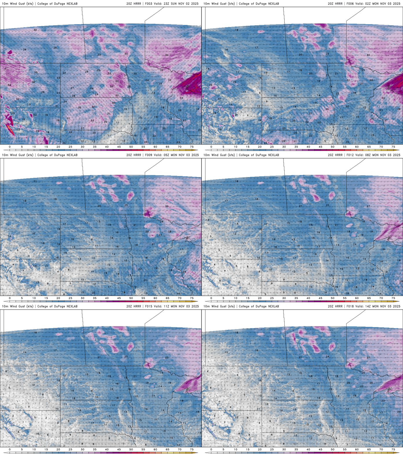
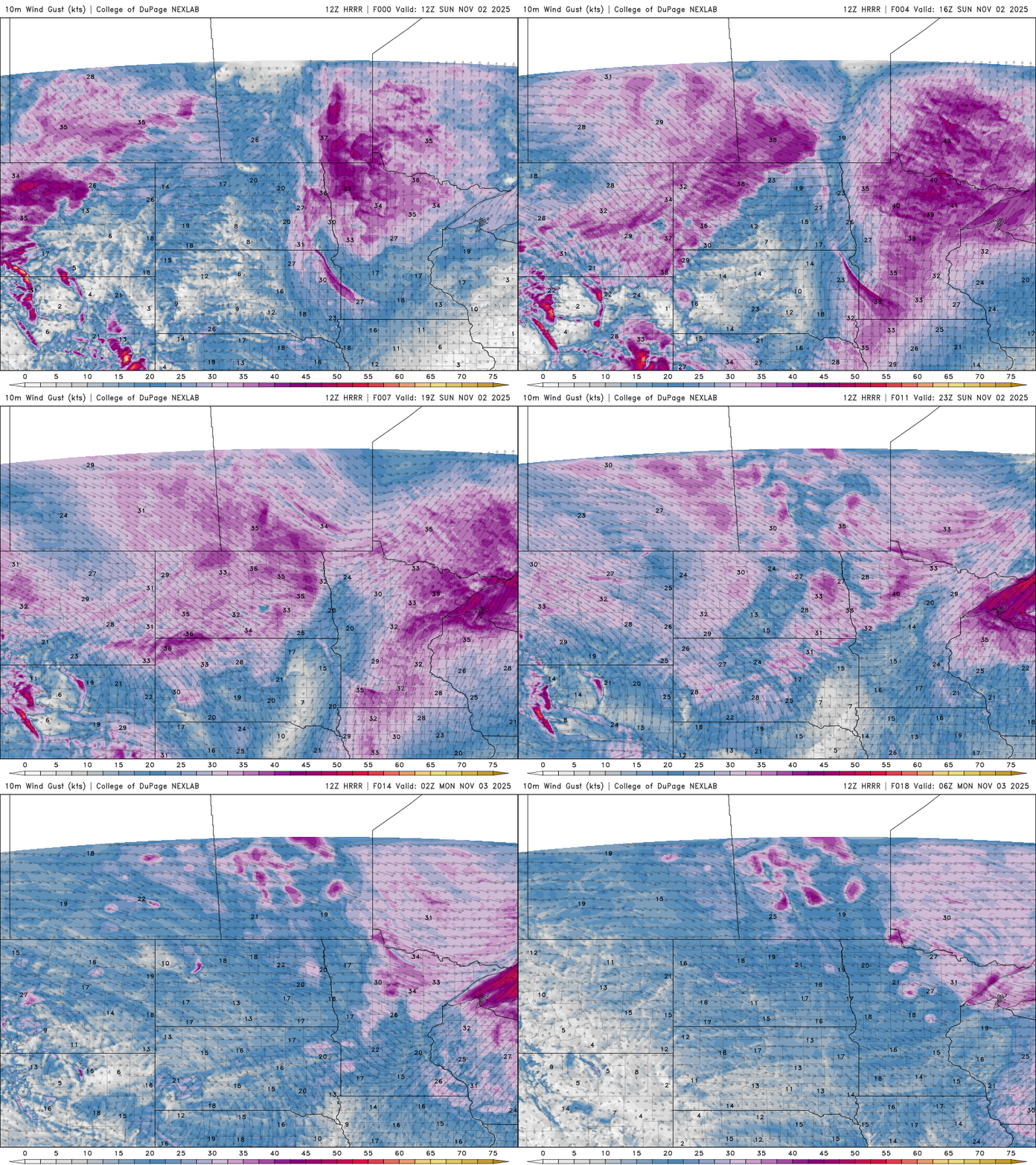
It’s a warm and windy start to the week, and those gusty winds are combining with low humidity to create elevated fire weather conditions Monday afternoon. A busy weather pattern is on the way, although precipitation looks limited for most areas.
Dan Gunderson spent nearly four decades covering the people, communities and places of northwestern Minnesota. For the past year, he’s been highlighting everyday Minnesotans doing inspiring things for the series, “Wander & Wonder.”
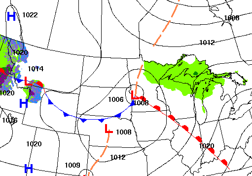
A busy upper air pattern will keep weather systems moving through the region, but most areas will stay mild and mainly dry this week, with gusty winds lingering through Monday.
With temperatures beginning to drop in areas across the United States, some states are warning that funding for the program is being delayed because of the federal government shutdown, now in its fifth week.
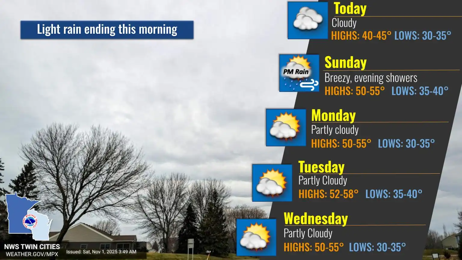
By the end of the weekend, sunshine returns and warmer temperatures take hold for the week ahead. An active pattern will still bring a few light rain showers to the region, but most areas will stay dry.
A blanket of gray clouds hovers over the state Saturday, with cool temperatures lingering in the 40s. Brighter skies and more seasonal warmth arrive Sunday.
When it comes to staying informed in Minnesota, our newsletters overdeliver. Sign-up now for headlines, breaking news, hometown stories, weather and much more. Delivered weekday mornings.