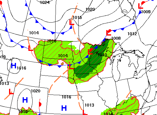
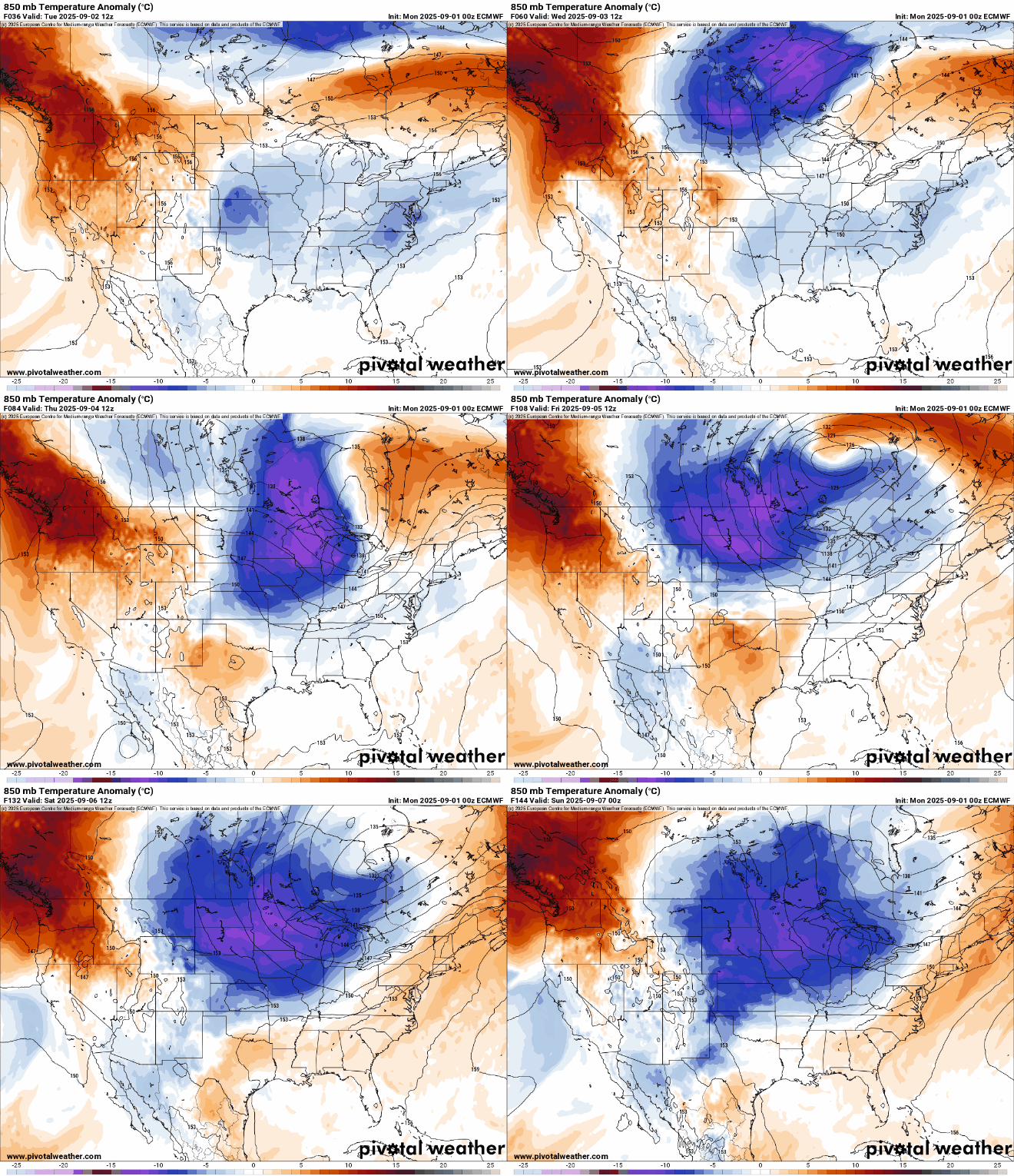
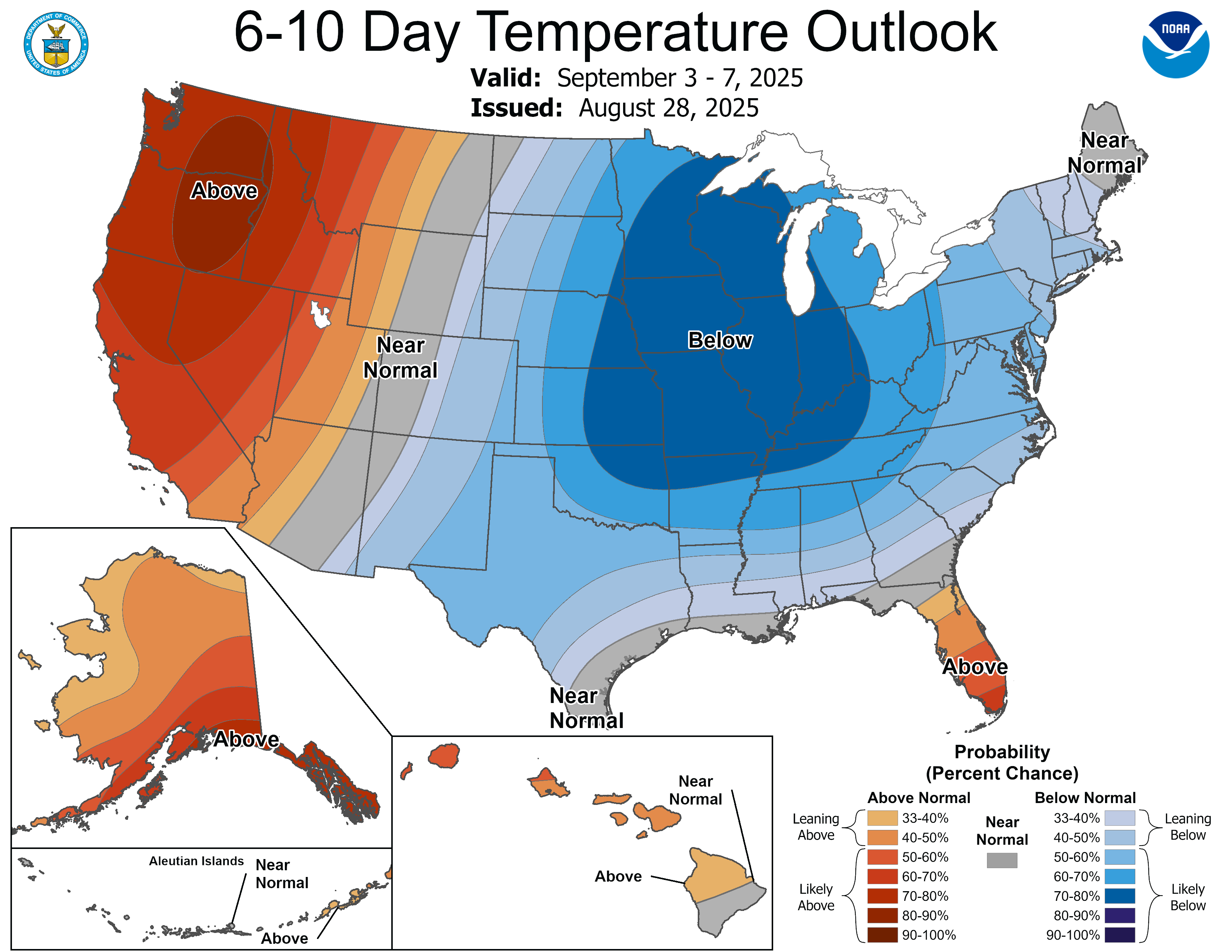
We’ll have scattered showers and some afternoon and evening thunder ahead of a potent cold front. Much cooler air settles in for Wednesday through Saturday.
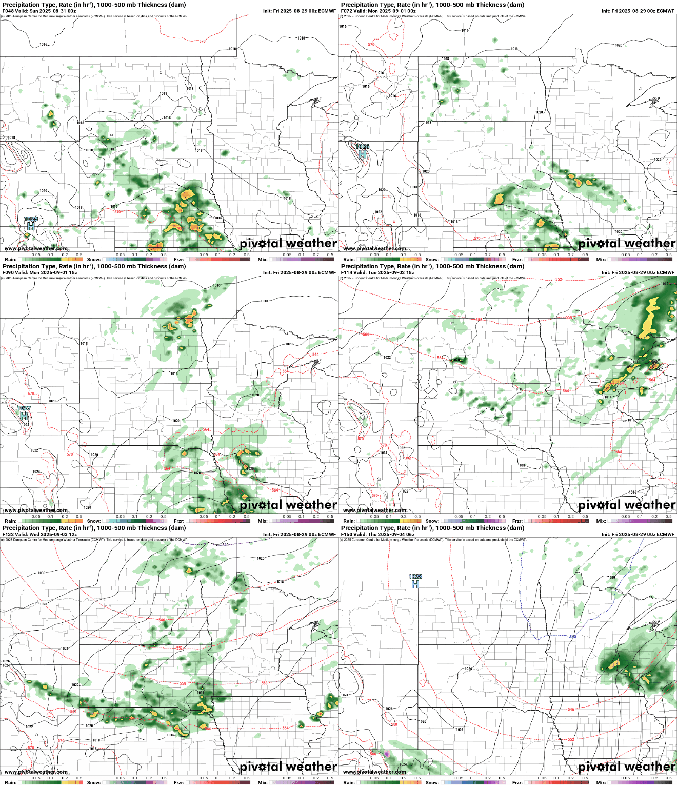
After a perfect end to August, with sunshine and seasonable temperatures, a major pattern shift is on the way. A potent cold front will move through the region late Tuesday, bringing widespread light rain, gusty north-northwest winds, and a sharp drop in temperatures.
Late-summer weather continues to wrap up our long holiday weekend, with sunshine and seasonable temperatures in the mid to upper 70s thanks to high pressure centered over the Great Lakes. A taste of fall is on the way by midweek, bringing much cooler temperatures.
Overnight patchy fog will make for a calm start to Sunday, continuing a warm and comfortable weekend. Later in the week, a strong cold front will sweep in, causing temperatures to drop and widespread showers to develop.
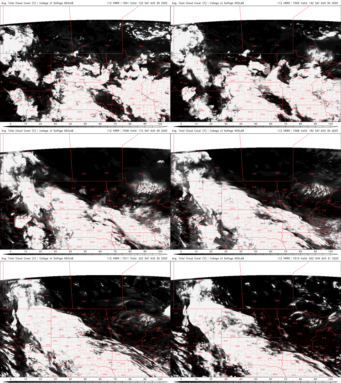
Get ready for a classic late-summer holiday weekend. Temperatures will stay close to seasonal averages, warming into the mid to upper 70s, accompanied by plenty of sunshine and dry conditions through Sunday.
Temperatures will be near or slightly above normal for the holiday weekend. There will be changes of showers in portions of the state at times. Much cooler air arrives next week.
The final days of the State Fair are shaping up to be just as pleasant as the start, with more sunshine and seasonable temps on the way. A few light rain showers are possible Friday, but nothing that should soak your cheese curds, or disrupt your fair day plans. Expect highs in the mid to upper 70s, a slight uptick in humidity, and light winds out of the east to southeast.
When it comes to staying informed in Minnesota, our newsletters overdeliver. Sign-up now for headlines, breaking news, hometown stories, weather and much more. Delivered weekday mornings.